What is recorded here
Embanked enclosure is a fairy fort or earthen ringfort in Drinagh, County Roscommon, Ireland. It appears only on the 1837 Ordnance Survey six-inch map as a circular embanked enclosure on a low rise. The grass-covered area measures 39 metres across, uses a scarp and field bank as boundaries, and serves as a feeding station known locally as the fort.
Marked as a circular embanked enclosure (ext. diam. c. 45-50m) only on the 1837 ed. of the OS 6-inch map, and situated on a low rise. Circular grass-covered area (diam. 39m NE-SW), which is used as a feeding station and known locally as 'the fort', defined by a scarp (Wth 2.4m; H 0.7m) S-NW and a field bank and hedge N-SE.
Compiled by: Michael Moore
Date of upload: 24 August 2010
The monument record does not grant public access. Check the route and ask the landowner before entering private land.
- What survives
- Recorded monument
Places near here
 R. C. ChapelChurch · 1.9 mi
 St Barrys ChurchChurch · 2.3 mi
 IndicatedFairy fort / earthen ringfort · 2.6 mi
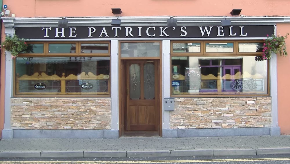 St Patricks WellHoly well · 2.9 mi
 Doughill ForestForest · 3.3 mi
 Slieve BawnMountain / peak · 3.6 mi
 CastleCastle, unclassified · 4.5 mi
 St. Barry's WellSpring · 4.5 mi
 Commons North WalkVisitor information · 4.6 mi
 Wild birdsVisitor information · 4.9 mi
 Long IslandIslet · 5.0 mi
 Strokestown ParkHeritage attraction · 5.0 mi