What is recorded here
Near the W edge of a large expanse of bog. Discovered in 1955 during Bord na Móna drainage operations and investigated by Mr. B O'Riordáin of the NMI, who described the site as 'a timber structure some 5m wide, 0.17m in thickness, 1.6m below the present (shrunken) surface of the bog. It was composed of light branches 'laid crosswise on each other .... but not interwoven in any regular fashion .…(and) in other cuttings inspected some large hewn timbers were observed, one of which measured over 1.05m in length 0.22m in width and 0.08m in thickness' (SMR file; NMI File 1A 21/55)).
Compiled by: Gearóid Conroy
Date of upload: 10 June 2011
The monument record does not grant public access. Check the route and ask the landowner before entering private land.
- What survives
- Recorded monument
Places near here
 Enclosure in Parsonstown (windmill Cross Ed)Enclosure · 1.6 mi
 Church FieldChurch · 1.7 mi
 Enclosure in Timahoe WestEnclosure · 2.0 mi
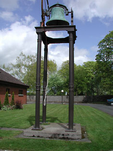 Catholic Church of the Holy Familybell tower/stand · 2.4 mi
 Castle in RuinsCastle, tower house · 2.5 mi
 CastleCastle, unclassified · 2.5 mi
 Horse-chestnutHorse-chestnut · 2.8 mi
 The Grill ShackHeritage attraction · 3.5 mi
 Killina BogWood · 4.7 mi
 The Kildare MazeHeritage attraction · 5.5 mi
 Grand Canal WayVisitor information · 6.1 mi
 Bithia Mary CrokerMemorial · 10 mi