What is recorded here
Indicated is a graveyard on the Dowth ridge where the parish church still stands inside masonry walls. The stones arrived later than the burials because Dopping found the place unenclosed in 1682, leaving earlier deaths exposed to weather and memory. That gap between bare earth and built boundary suggests the community waited for certainty, pride or permission before declaring the dead a kept thing.
Situated on the NE-SW ridge of Dowth. The parish church of Dowth (ME020-019----) is in a subrectangular graveyard (dims c. 60-65m E-W; c. 35-40m N-S) defined by masonry walls. The graveyard walls have been built since 1682-5 when Dopping describes the graveyard as unenclosed (Ellison 1973, 5). Archaeological monitoring (E002470) during 2006 of a road surface to the graveyard from the E produced evidence of two post-medieval walls (Russell 2007).
Compiled by: Michael Moore
Date of upload: 12 June, 2014
Amended: 17 February 2021
Neolithic passage tomb; dates to the late Neolithic period, c. 2500–2000 BCE. Dowth is one of the largest and most significant passage tombs in the Brú na Bóinne complex, comparable to Newgrange and Knowth.
The monument record does not grant public access. Check the route and ask the landowner before entering private land.
- What survives
- Recorded monument
Places near here
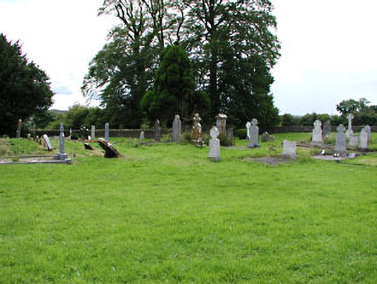 Netterville Manorgraveyard/cemetery · 2 yd
 Church (in Ruins)Church · 15 yd
 Dowth CastleCastle, tower house · 74 yd
 St. Bernards WellHoly well · 93 yd
 DowthNeolithic passage tomb · 131 yd
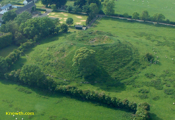 Concentric enclosure in DowthConcentric enclosure · 775 yd
 Brú na Bóinne Visitor Centre AccessHeritage attraction · 1107 yd
 Brú na Bóinne Visitors CentreVisitor information · 1222 yd
 Glenmore ForestWood · 1532 yd
 Proudfootstown CastleCastle, unclassified · 1.0 mi
 European YewEuropean Yew · 1.6 mi
 Battle of the BoyneMajor battlefield · 1.7 mi