What is recorded here
Tide (poss.) is a shipwreck in County Down, Ireland. Perhaps the motor vessel still sits at 25m, its hull forgotten beneath green water. Maybe the tide that took it in 1973 never gave it back.
The official Northern Ireland wreck record identifies Tide (poss.) as Motor vessel. It was lost in 1973. Recorded depth: 25m.
Tide (poss.) was a motor vessel lost in 1973 at a depth of 25m, likely due to an accident or operational failure; details of lives or cargo lost are not recorded.
A wreck point does not grant access or permission to dive, enter land, disturb the site or recover anything. Check current law and local conditions first.
Places near here
 LignatinnyBay · 1597 yd
 Sheepland Harbour PathWalking route · 1.2 mi
 Guns IslandIslet · 1.3 mi
 HOLY WELL: ST. PATRICK'S WELL in Sheepland BegHOLY WELL: ST. PATRICK'S WELL · 1.4 mi
 Ballyhornan Picnic SitePicnic place · 1.8 mi
 CHURCH: DUNSFORD in DunsfortCHURCH: DUNSFORD · 2.2 mi
 CHURCH (in ruins) & GRAVEYARD: ARDTOLE CHURCH; ST.NICHOLAS' in ArdtoleCHURCH (in ruins) & GRAVEYARD: ARDTOLE CHURCH; ST.NICHOLAS' · 2.2 mi
 Ardtole ChurchWalking route · 2.2 mi
 MEDIEVAL CHURCH RENLES in Killard UpperMEDIEVAL CHURCH RENLES · 2.3 mi
 Enclosure/Building in ArdtoleEnclosure/Building · 2.3 mi
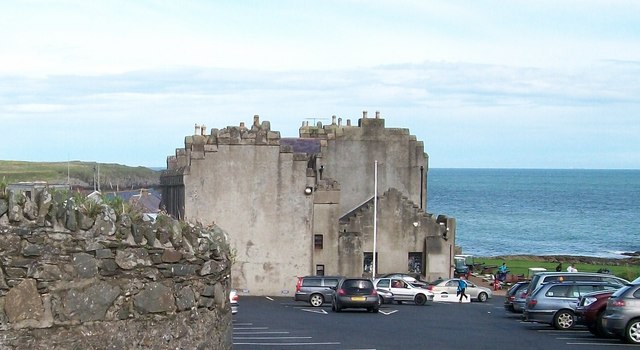 TOWER-HOUSE; MERCHANTS STORES; C18th CASTLE: HORN CASTLE or NEWARK or ARDGLASS CASTLE in ArdglassTOWER-HOUSE; MERCHANTS STORES; C18th CASTLE: HORN CASTLE or NEWARK or ARDGLASS CASTLE · 2.6 mi
 ArdglassVisitor information · 2.6 mi