What is recorded here
Saint Cillan's Fort is recorded as a archaeological place in County Down. Its open map record supplies this location and any linked names or public references.
Places near here
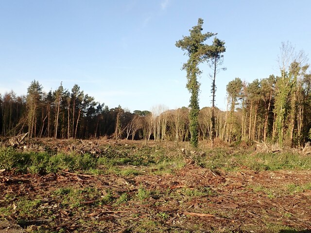 Tipperary WoodsForest · 431 yd
 Manor HouseHouse · 883 yd
 Newcastle Presbyterian ChurchChurch · 1162 yd
 Newcastle Heritage Trail - Old Railway StationVisitor information · 1229 yd
 Beach AvenueWalking route · 1309 yd
 CASTLE (destroyed) in Murlough UpperCASTLE (destroyed) · 1339 yd
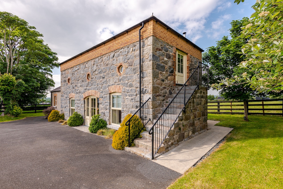 ENCLOSURE (destroyed) in CarnacavillENCLOSURE (destroyed) · 1340 yd
 CROSS-CARVED STONE in CarnacavillCROSS-CARVED STONE · 1347 yd
 Newcastle Tourist Information CentreVisitor information · 1415 yd
 Wild Forest LaneWalking route · 1606 yd
 Tollymore Forest Park EntranceNature reserve · 1665 yd
 DrinnahillyMountain / peak · 1.1 mi