What is recorded here
Carnew Fort stands in County Down, a quiet archaeological place where earth and memory still touch. Its open map record marks the location, but the land itself may hold more than lines and labels. Perhaps people walked its edge in seasons now lost, reading weather and life in the same breath. The fort does not need a grand claim to be real; it only needs to remain visible, remembered, and free to imagine.
Carnew Fort is recorded as a archaeological place in County Down. Its open map record supplies this location and any linked names or public references.
Places near here
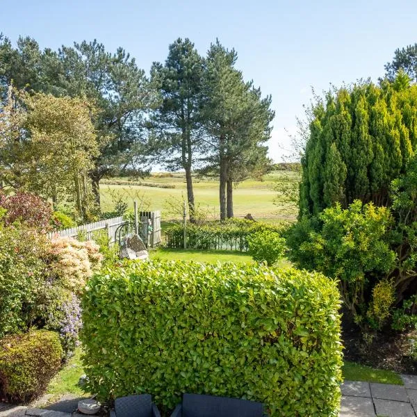 LARGE HILLTOP ENCLOSURE: GRANSHA FORT in Aughnaskeagh; Carnew; GranshaLARGE HILLTOP ENCLOSURE: GRANSHA FORT · 1562 yd
 POST MEDIEVAL PARISH CHURCH in FedanyPOST MEDIEVAL PARISH CHURCH · 1.2 mi
 ENCLOSURE in AughnaskeaghENCLOSURE · 1.6 mi
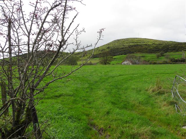 Deehommed MountainMountain / peak · 2.7 mi
 SlievenaboleyMountain / peak · 3.2 mi
 Drumgooland Presbyterian ChurchChurch · 3.2 mi
 The Moat PadWalking route · 3.8 mi
 CHURCH & GRAVEYARD: DRUMGOOLAND in DeehommedCHURCH & GRAVEYARD: DRUMGOOLAND · 3.8 mi
 Pass LoaningWalking route · 4.2 mi
 CHURCH (Listed) & GRAVEYARD in MagherallyCHURCH (Listed) & GRAVEYARD · 4.4 mi
 Dromore CastleCastle · 4.8 mi
 TOWER-HOUSE: DROMORE CASTLE in DromoreTOWER-HOUSE: DROMORE CASTLE · 4.8 mi