What is recorded here
Sixty metres southwest of the Bunratty church, a ruined limestone pier still stands where a massive dovecote once roared with wings. The angular rubble stretch survives in overgrowth, hiding the niches that likely fed hundreds of birds for the town. Westropp named the structure decades ago, but the building has since retreated into mystery, leaving only a sharp geometric shadow behind the sacred ground.
Situated c. 60m SW of the 17th-century church within the historic town of Bunratty. According to Westropp (1915, 316) ‘beyond the church is the massive buttressed pier of the ancient pigeon house’. In 1917 (opp. p. 14) Westropp indicates and names a pigeon house on his plan of Bunratty. The surviving portion is very ruined and overgrown. It comprises a straight stretch of roughly coursed limestone rubble extending S-N for 2.1m, angling at 45 degrees to E for 1.5m and continuing W-E for 1.17m (max. H 3m). It is not possible to make out definite niches on the interior.
The following image has been uploaded:
CL061-011004-_01.jpg View of remaining portion of dovecote from N.
Compiled by: Mary Tunney
Date of upload: 2 October 2019.
The monument record does not grant public access. Check the route and ask the landowner before entering private land.
- What survives
- Recorded monument
Places near here
 Grave Yd.Graveyard · 70 yd
 Bunratty Castlehouse · 122 yd
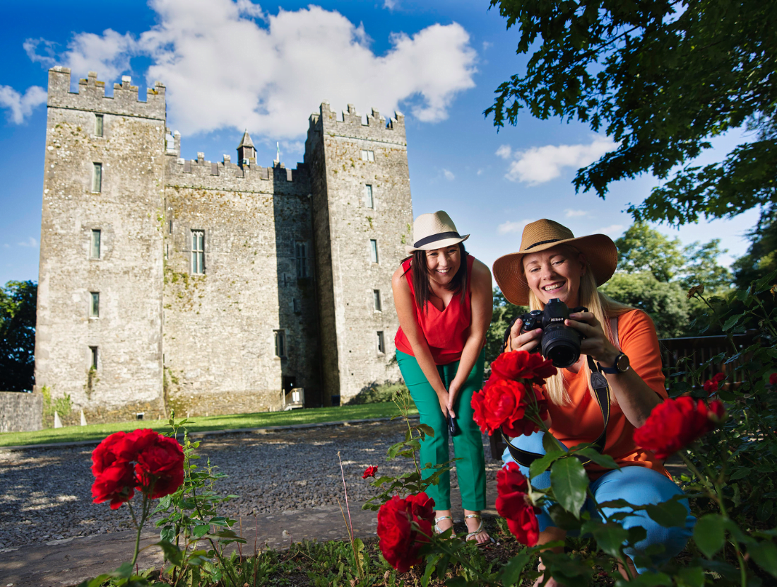 Town defences in Bunratty East,bunratty WestTown defences · 193 yd
 IndicatedBawn · 349 yd
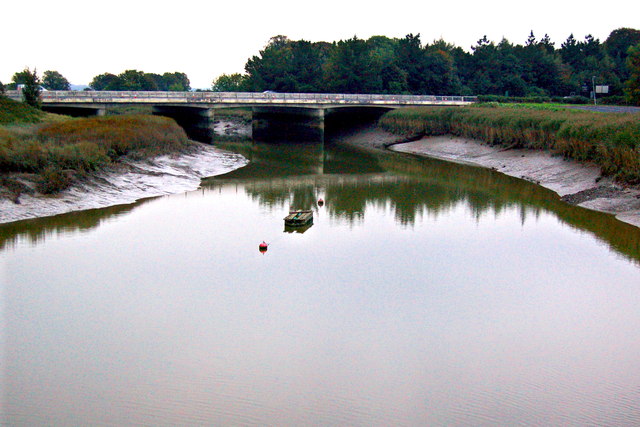 Bunratty Bridgebridge · 373 yd
 Bunratty Castle and Folk ParkHeritage attraction · 383 yd
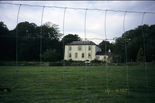 Bunratty Househouse · 711 yd
 Sweet ChestnutSweet Chestnut · 760 yd
 Illaunmore PointHeadland · 955 yd
 Inishcronan PointHeadland · 1.2 mi
 CastleCastle, motte and bailey · 1.4 mi
 Grass IslandIslet · 1.7 mi