What is recorded here
Discovered in 2015 in the course of a review of LIDAR data where it is visible as a possible enclosure (diam. c. 30m).
The attached image is uploaded courtesy of Dr Steve Davis.
Compiled by: Matt Kelleher
Date of upload: 5 October 2015
The monument record does not grant public access. Check the route and ask the landowner before entering private land.
- What survives
- Recorded monument
Places near here
 Concentric enclosure in DoonyConcentric enclosure · 49 yd
 IndicatedHouse, vernacular house · 456 yd
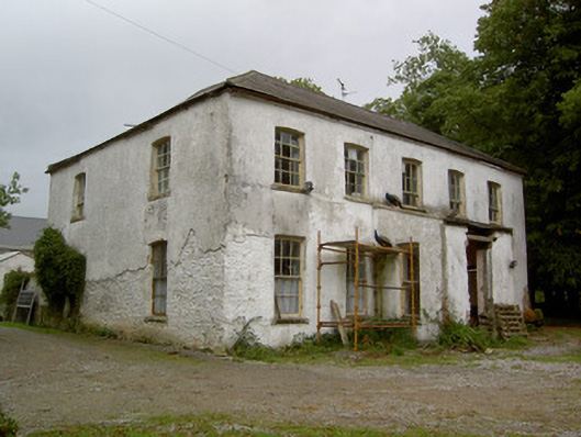 Hardingville Housecountry house · 686 yd
 Burnt mound in Gardenfield SouthBurnt mound · 1448 yd
 Castle LisheenCastle · 1.2 mi
 National Co-op MuseumMuseum · 1.3 mi
 Castle (in Ruins)Castle, Anglo-Norman masonry castle · 1.3 mi
 ToberacappeenSpring · 1.5 mi
 ToberhoranSpring · 3.6 mi
 Battle of LiscarrollMajor battlefield · 6.4 mi
 Mullaghareirk - Banane LoopWalking route · 7.6 mi
 Stanner's Glen, Priory WoodWood · 8.7 mi