What is recorded here
Fairy fort / earthen ringfort in Doonis is a fairy fort or earthen ringfort in Doonis, County Westmeath, Ireland. This slightly raised circular area, with an approximate east-west diameter of 38 metres, sits on an elevated north-facing slope of rising ground. It is enclosed by a low bank of earth and stone with a shallow external fosse, though the bank has been almost completely levelled at the north where a northwest to southeast field fence intersects the perimeter. The interior slopes gently from southwest to northeast, featuring a central mound of field clearance stones with a low bank extending southwest from its western end.
Situated on elevated N-facing slope of rising ground. Ringfort (WM015-007---) 150m to S. A slightly raised circular-shaped area (approx. diam. 38m E-W) enclosed by a low bank of earth and stone with a shallow external fosse. The bank has been almost completely levelled at N, where the perimeter is intersected by a NW-SE field fence. The interior slopes gently from SW-NE. In the centre of the monument a mound of field clearance stones is visible, with a low bank extending to SW from the W end of this mound towards the ringfort bank.
See attached profile of monument surveyed and drawn by the ASI.
Compiled by: Frank Coyne and Caimin O'Brien
Date of upload: 5 September 2018
The monument record does not grant public access. Check the route and ask the landowner before entering private land.
- What survives
- Recorded monument
Places near here
 OutlinedEnclosure · 570 yd
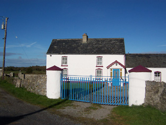 farm housefarm house · 585 yd
 RIC barracksRIC barracks · 1079 yd
 IndicatedFairy fort / earthen ringfort · 1226 yd
 Bawn in Cannorstown (hogan)Bawn · 1.1 mi
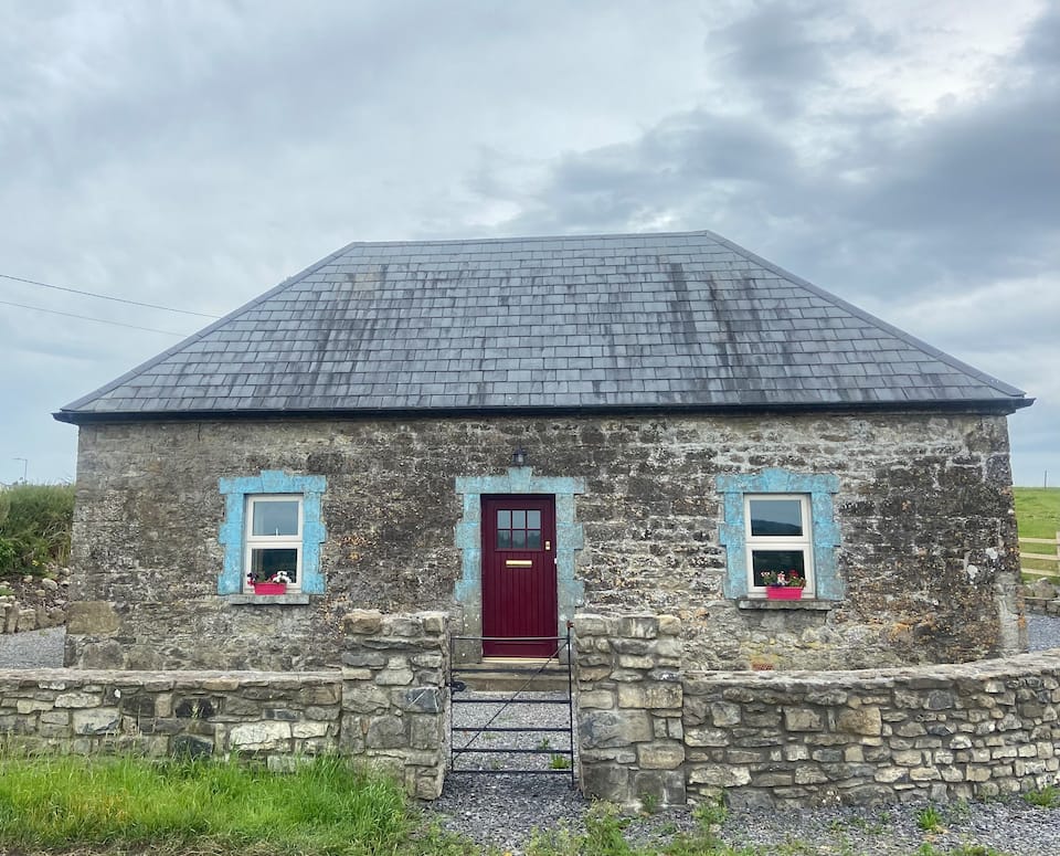 Bawn in BallynacliffyBawn · 1.2 mi
 Leveret IslandIslet · 2.2 mi
 Noughaval CemeteryArchaeological place · 2.8 mi
 European BeechEuropean Beech · 3.0 mi
 InchbofinIslet · 3.0 mi
 Portlick Millennium ForestWood · 3.9 mi
 Pollagh BayBay · 4.2 mi