What is recorded here
Counterscarp raths are the outer ditches that wrapped early Irish strongholds, and Doonan still holds one in County Fermanagh. The main fortress may have vanished beneath grass and footing, but the outer trench remains a scheduled marker of the boundary people once drew around what they valued. That is often all a rath gives back: a line in the earth where ambition, fear or pride still bends the land.
The official Northern Ireland record identifies this as COUNTERSCARP RATH. Recorded period: E.CHRIST.. Recorded protection: Scheduled. The official map point was placed at the centre of the recorded archaeological site from the source map reference.
The monument record does not grant public access. Check the route and ask the landowner before entering private land.
- What survives
- Recorded monument
Places near here
 St. Patrick's ChurchChurch · 1005 yd
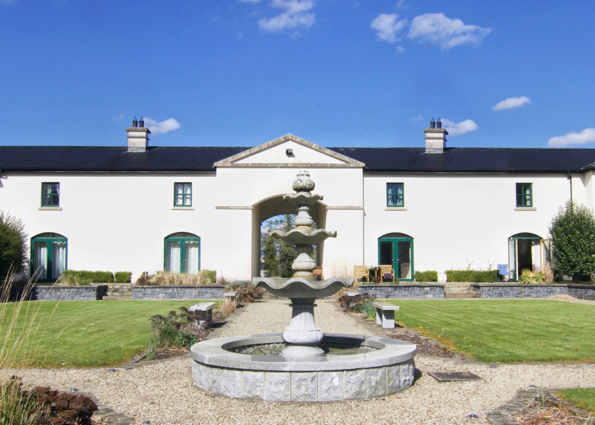 C17TH BAWN (unlocated) in DrumshaneC17TH BAWN (unlocated) · 1396 yd
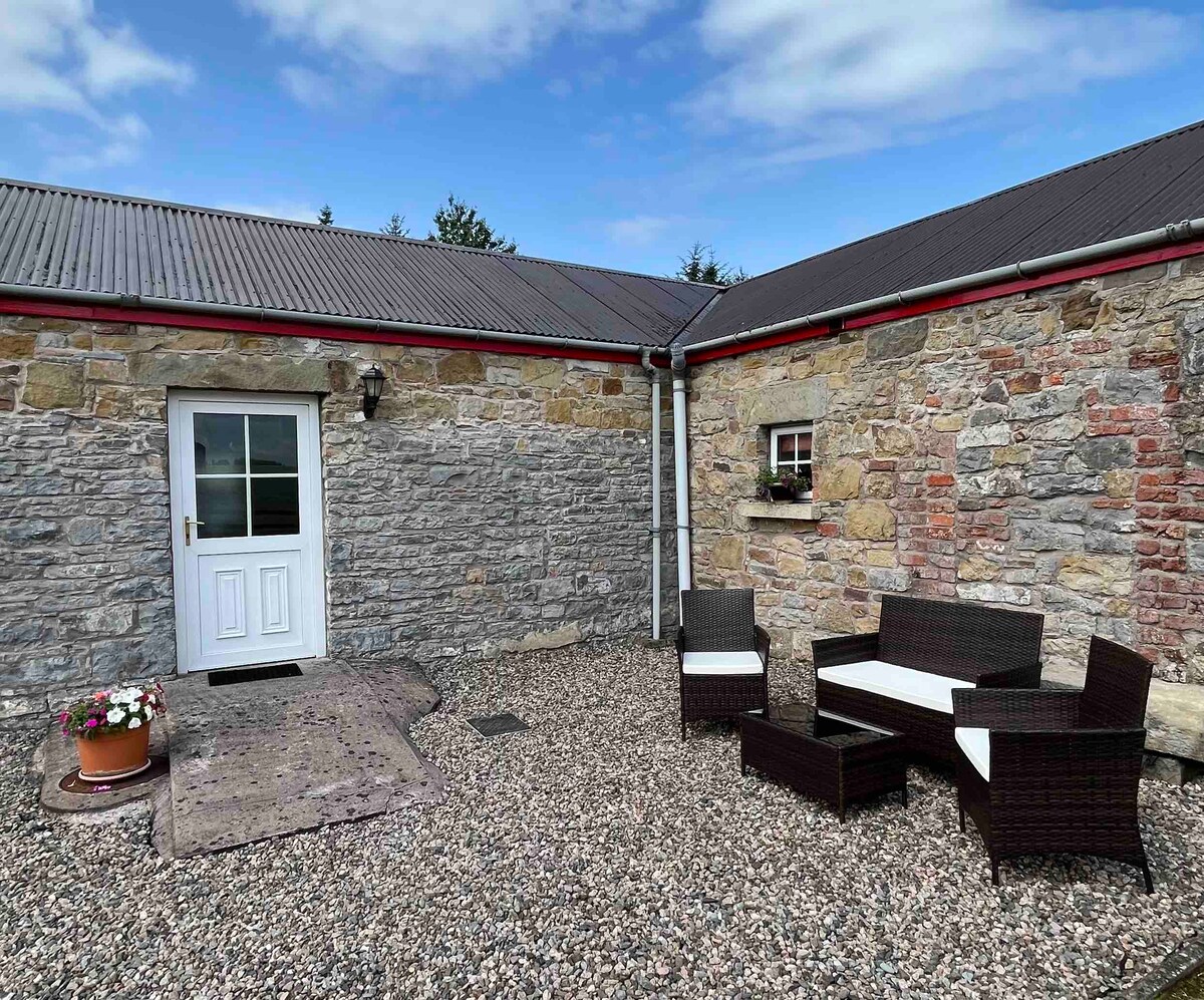 A.P. SITEA.P. SITE, enclosure · 1495 yd
 ENCLOSURE in BallymacataggartENCLOSURE · 1.3 mi
 Inish ConraIsland · 1.4 mi
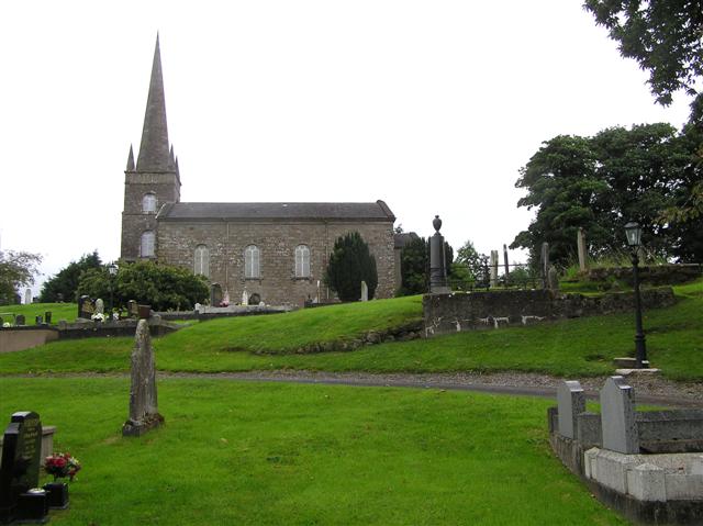 CHURCH (unlocated) in BallymacataggartCHURCH (unlocated) · 1.4 mi
 WW2 components store (part of RAF Castle Archdale) in RossmoreWW2 components store (part of RAF Castle Archdale) · 1.5 mi
 Inish DavarIsland · 1.6 mi
 Cassidy WoodWood · 2.1 mi
 Drumsara WoodWood · 2.2 mi
 Crevenish CastleHeritage attraction · 3.8 mi
 Monea CastleHeritage attraction · 5.1 mi