
What is recorded here
Doon Fort occupies a circular hillock above northern bogland, preserving a broad oval platform where a castle once stood and a hidden cave may still breathe beneath the soil. The earth has swallowed most of its edges, leaving only a faint scarp to mark the boundary between human ambition and natural forgetting. Anyone walking the summit touches the same quiet tension that built the fort: visibility, control and the danger of disappearing inside the land itself.
On summit of a circular hillock with bogland to N. A very poorly preserved oval platform (E-W 60m, N-S 50m) (GA073-073001-) defined by a scarp. A castle (GA073-073003-) is associated. There is also a local tradition of a 'cave' (possible Man-made underground passage, GA073-073002-) but no visible surface trace of it survives.
The above description is derived from the published 'Archaeological Inventory of County Galway Vol. II - North Galway'. Compiled by Olive Alcock, Kathy de hÓra and Paul Gosling (Dublin: Stationery Office, 1999).
Date of upload: 05 August 2010
The monument record does not grant public access. Check the route and ask the landowner before entering private land.
- What survives
- Recorded monument
Places near here
 Site of Doon CastleCastle, unclassified · 12 yd
 Enclosure in Doon UpperEnclosure · 328 yd
 Man-made underground passage in Cartrondoogan (annagh Ed)Man-made underground passage · 523 yd
 IndicatedQuarry · 1706 yd
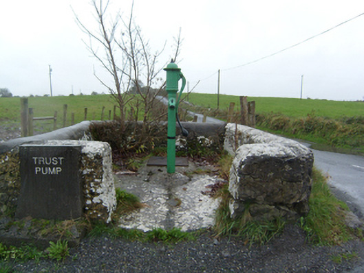 water pumpwater pump · 1747 yd
 Ballynabanaba CastleCastle, tower house · 1.2 mi
 SycamoreSycamore · 2.0 mi
 Sweet ChestnutSweet Chestnut · 2.3 mi
 Kilconnell AbbeyHeritage attraction · 2.9 mi
 Battle of Aughrim Interpretative CentreMuseum · 6.0 mi
 Battle of AughrimMajor battlefield · 6.6 mi
 The bloody HollowHeritage attraction · 6.8 mi
Other information
Photo: Credit not shown in the picture search · Rights wording not checked; contact us if this picture should be removed