What is recorded here
Seventeen hut sites surround the Lissachiggel ringfort, forming a dense medieval village rather than a lonely farmhouse. This particular hut is one of that clustered settlement, suggesting neighbourly traffic, shared firelight and constant human noise instead of quiet isolation. The number transforms a simple mound into a thriving local community where several families likely lived, worked and argued together under the same open sky.
The following description is derived from both the published 'Archaeological Inventory of County Louth' (Dublin: Stationery Office, 1986) and the 'Archaeological Survey of County Louth' (Dublin: Stationery Office, 1991). In certain instances the entries have been revised and updated in the light of recent research.
Date of upload: 16 November 2011
One of 17 hut sites at 'Lissachiggel' ringfort (see LH004-050001-).
The monument record does not grant public access. Check the route and ask the landowner before entering private land.
- What survives
- Recorded monument
Places near here
 Hut site in DoolargyHut site · 1 yd
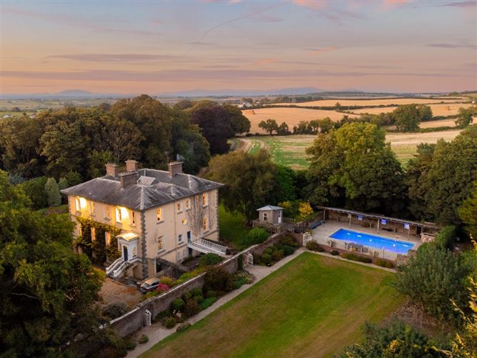 Enclosure in DoolargyEnclosure · 857 yd
 Caraban Househouse · 1263 yd
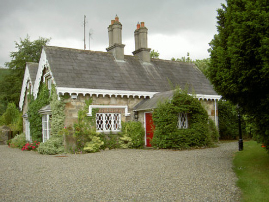 schoolschool · 1264 yd
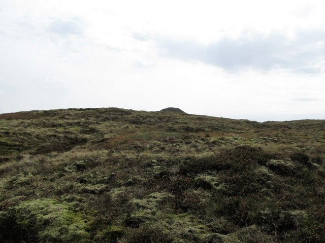 CarnavaddyMountain / peak · 1580 yd
 The Ben RockMountain / peak · 1.3 mi
 Proleek DolmenArchaeological place · 1.7 mi
 Cooley MountainsMountain range · 1.8 mi
 Long Woman's GraveArchaeological place · 1.9 mi
 Ravensdale LoopWalking route · 2.0 mi
 Ravensdale ForestForest · 2.1 mi
 CastleCastle, tower house · 2.2 mi