
What is recorded here
Dotted circular feature indicated on the 1835 'OS 6-inch' map (map dims. diam. c. 40m). No visible trace at ground level. Archaeological test excavation (Meenan 2003, 258) and monitoring (Meenan 2009, 345) carried out prior to the construction of a dwelling to the W of this possible monument failed to reveal anything of significance.
References:
Meenan, R. (2003) 'Doolargy No archaeological significance' in I. Bennett (ed.), Excavations 2001: summary accounts of archaeological excavations in Ireland, 258 (840). Bray. Wordwell
Meenan, R. (2009) 'Doolargy No archaeological significance' in I. Bennett (ed.), Excavations 2006: summary accounts of archaeological excavations in Ireland, 345 (1342). Bray. Wordwell
Compiled by: Claire Breen
Date of upload: 16 November 2011
This remains an important historical record, but the official description says the monument is no longer visible or has been destroyed. The monument record does not grant public access. Check the route and ask the landowner before entering private land.
- What survives
- No visible remains or recorded as destroyed
Places near here
 Hut site in DoolargyHut site · 456 yd
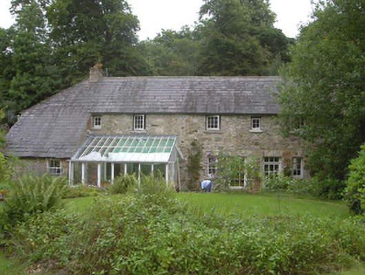 Anaverna Housestables · 722 yd
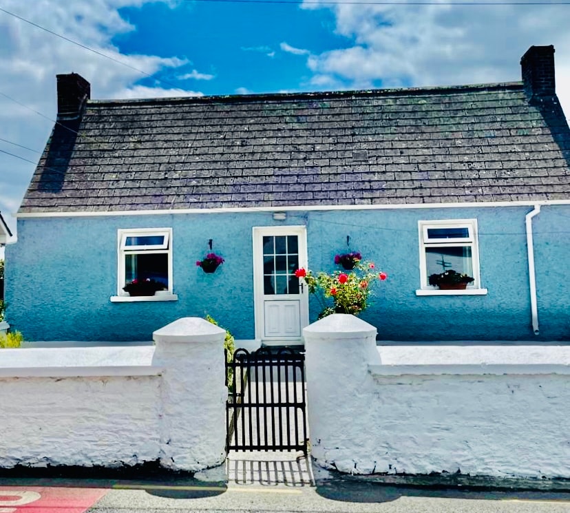 Sweathouse in AnavernaSweathouse · 812 yd
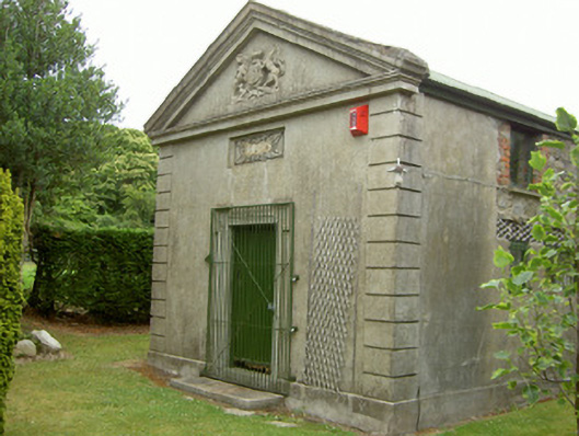 Ravensdale Courthousecourt house · 827 yd
 The Ben RockMountain / peak · 1538 yd
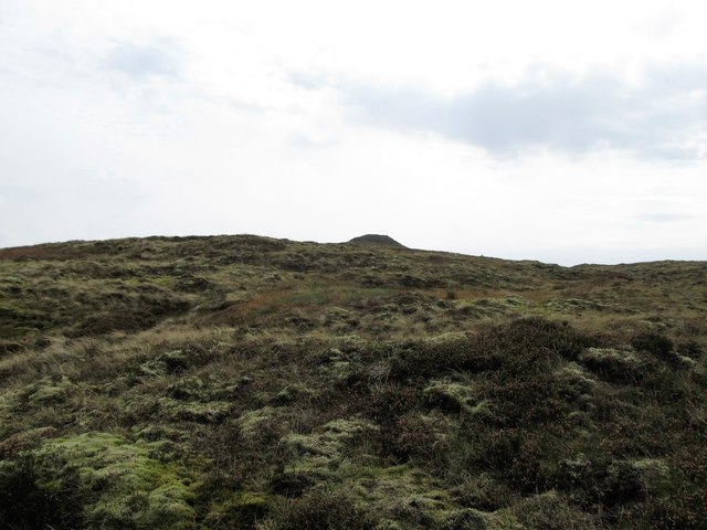 CarnavaddyMountain / peak · 1.1 mi
 Ravensdale LoopWalking route · 1.5 mi
 Ravensdale ForestForest · 1.6 mi
 Proleek DolmenArchaeological place · 1.7 mi
 KILNASAGGART INSCRIBED PILLAR STONE & CEMETERY with 6 CROSS-CARVED STONES: CELL NA SACART in EdenappaKILNASAGGART INSCRIBED PILLAR STONE & CEMETERY with 6 CROSS-CARVED STONES: CELL NA SACART · 2.2 mi
 CastleCastle, tower house · 2.3 mi
 1978 British Army Gazelle downingaviation accident · 2.4 mi
Other information
Photo: Credit not shown in the picture search · Rights wording not checked; contact us if this picture should be removed