What is recorded here
One of seventeen hut sites clustered around the Lissachiggel ringfort in Doolargy, it marks a busy residential margin rather than a lonely outlier. The fortdified centre likely coordinated local life, while these smaller huts suggest neighbours, workers or kin remained close enough to hear trouble or share work. Distance blurred into daily rhythm when survival depended on mutual aid.
The following description is derived from both the published 'Archaeological Inventory of County Louth' (Dublin: Stationery Office, 1986) and the 'Archaeological Survey of County Louth' (Dublin: Stationery Office, 1991). In certain instances the entries have been revised and updated in the light of recent research.
Date of upload: 16 November 2011
One of 17 hut sites at 'Lissachiggel' ringfort (see LH004-050001-).
The monument record does not grant public access. Check the route and ask the landowner before entering private land.
- What survives
- Recorded monument
Places near here
 Hut site in DoolargyHut site · 1 yd
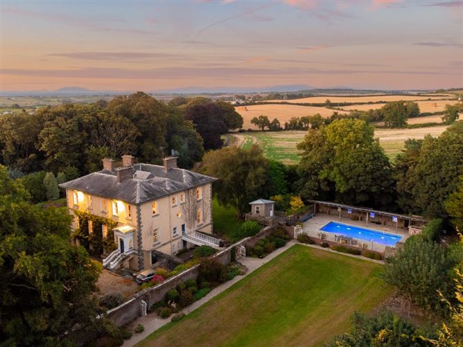 Enclosure in DoolargyEnclosure · 857 yd
 Caraban Househouse · 1263 yd
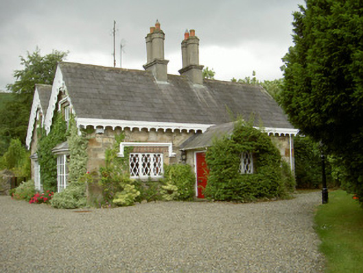 schoolschool · 1264 yd
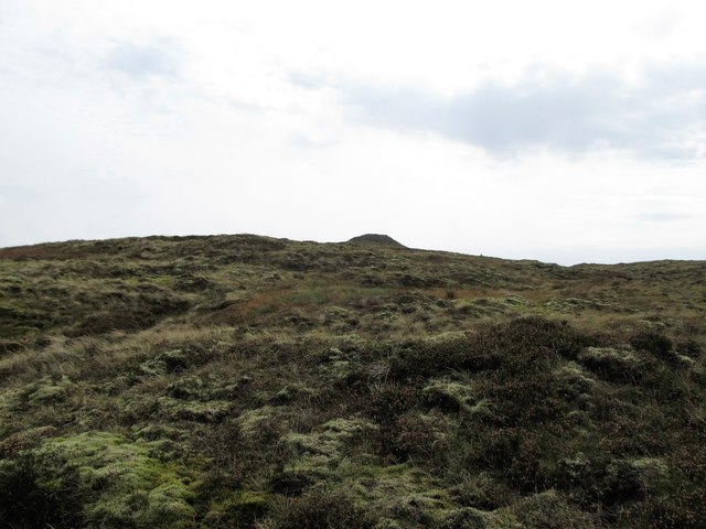 CarnavaddyMountain / peak · 1580 yd
 The Ben RockMountain / peak · 1.3 mi
 Proleek DolmenArchaeological place · 1.7 mi
 Cooley MountainsMountain range · 1.8 mi
 Long Woman's GraveArchaeological place · 1.9 mi
 Ravensdale LoopWalking route · 2.0 mi
 Ravensdale ForestForest · 2.1 mi
 CastleCastle, tower house · 2.2 mi