What is recorded here
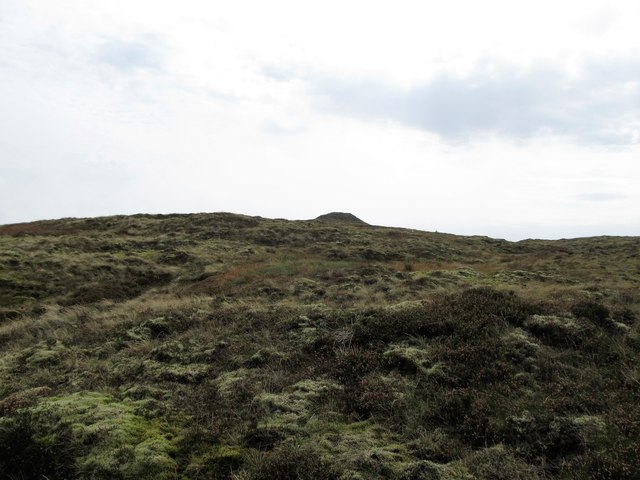
No visible entrance remains on the west slope of Carrabane mountain, only a broken earthen circle where a modern laneway cut through the ancient bank. The missing gateway suggests people once entered the fort from that side before the land was changed.
The following description is derived from both the published 'Archaeological Inventory of County Louth' (Dublin: Stationery Office, 1986) and the 'Archaeological Survey of County Louth' (Dublin: Stationery Office, 1991). In certain instances the entries have been revised and updated in the light of recent research.
Date of upload/revision: 17 July 2007
Situated on the W slope of Carrabane mountain. Roughly circular area (int. diam. 21.5m) enclosed by earthen bank (Wth c. 3m, H 1m). The bank has spread down the slope so that there is a drop on the E down into the interior of the ringfort, and on the W a resulting drop from the interior to outside. The bank itself is interfered with by the construction of a modern laneway and field walls. No visible trace of fosse or entrance.
This remains an important historical record, but the official description says the monument is no longer visible or has been destroyed. The monument record does not grant public access. Check the route and ask the landowner before entering private land.
- What survives
- No visible remains or recorded as destroyed
Places near here
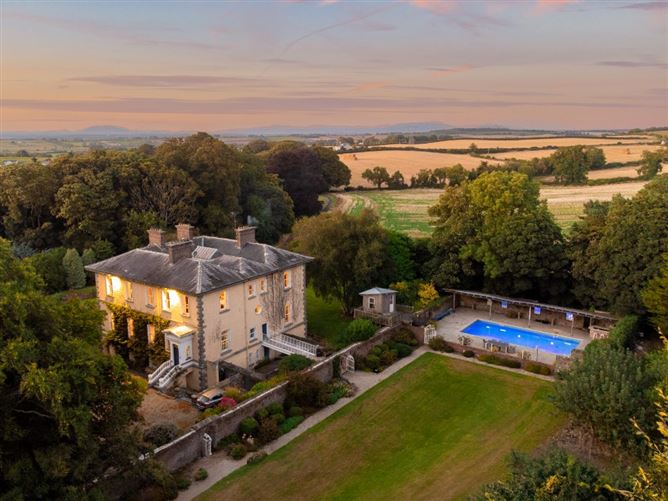 Enclosure in DoolargyEnclosure · 374 yd
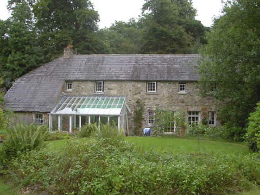 Anaverna Housestables · 430 yd
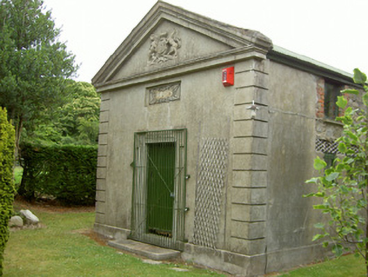 Ravensdale Courthousecourt house · 452 yd
 Hut site in DoolargyHut site · 453 yd
 The Ben RockMountain / peak · 1749 yd
 CarnavaddyMountain / peak · 1.3 mi
 Proleek DolmenArchaeological place · 1.6 mi
 Ravensdale LoopWalking route · 1.6 mi
 Ravensdale ForestForest · 1.7 mi
 CastleCastle, tower house · 2.1 mi
 KILNASAGGART INSCRIBED PILLAR STONE & CEMETERY with 6 CROSS-CARVED STONES: CELL NA SACART in EdenappaKILNASAGGART INSCRIBED PILLAR STONE & CEMETERY with 6 CROSS-CARVED STONES: CELL NA SACART · 2.1 mi
 Moyry CastleCastle · 2.3 mi