What is recorded here
O' Donovan (OSL 1839, 93) mentions that 'several raheens' in this townland were levelled (OSL 1839, 93). The cropmarks identified from aerial photographs (CW016-089---- and CW016-103----) may be the those that O' Donovan refers to here.
Compiled by: Claire Breen
Date of upload: 19 August 2011
The monument record does not grant public access. Check the route and ask the landowner before entering private land.
- What survives
- Recorded monument
Places near here
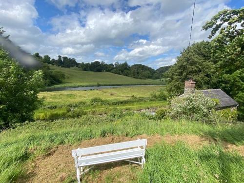 Enclosure in DonoreEnclosure · 410 yd
 Kilmolappoge Church (site of), Kilmolappoge WellChurch · 428 yd
 Wych ElmWych Elm · 1545 yd
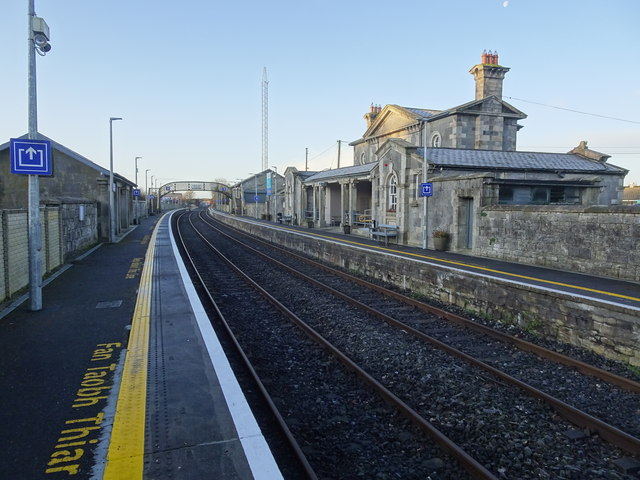 Bagenalstown Railway Stationfoot bridge · 1.1 mi
 Saint Mary's Church (Dunleckny)church/chapel · 1.3 mi
 The Columban WayVisitor information · 1.4 mi
 Lock Keeper's House and Lodge MillsVisitor information · 1.7 mi
 Ballymoon Castle (in ruins)Castle, Anglo-Norman masonry castle · 2.0 mi
 Sweet ChestnutSweet Chestnut · 2.0 mi
 CastleCastle, motte · 2.0 mi
 Church (in ruins), GraveyardChurch · 2.1 mi
 Church, GraveyardChurch · 3.7 mi