What is recorded here
No dolmen remains, only a grassy bump thirty metres from the great Grange stone circle. Yet the vanished chamber likely stood beside that eternal ring, forcing humans to walk past death and rebirth in a single breath. The stones are gone, but the geometry persists: a dense chamber of prehistoric markers where absence becomes the sharpest teacher.
Situated in grassland on top of low rise of ground 380m W of Lough Gur and surrounded by a dense concentration of prehistoric monuments (Cleary 2018). The great stone circle at Grange (LI032-004001-) is located 30m to NE. Two stone circles (LI032-005/006----) are in the adjoining field to the N and NNE, a trackway running NNW-SSE known as Cladh na Leac (LI032-010001-) is 305m to E, standing stone known as Cloch á Bhíle (LI032-007----) lies 105m to SE, site of Giant's Grave (LI032-010003-) is located 310m to SE and a trapezoidal setting of stones (LI032-002----) annotated as a 'Stone Avenue' which may be remains of a court tomb (Cleary 2015, 51) standing beside an embanked stone circle (LI032-003---) lies 155m to NW.
The site is not depicted on the 1840 ed. OSi 6-inch map nor is it on the 1897 ed. OSi 25-inch map. It is shown on the Cassini OSi 6-inch map as ‘Dolmen (site of)’. The site is recorded in the Megalithic Survey of Ireland (De Valera and Ó Nualláin 1982, 77) as follows; ‘P. J. Lynch in the 1927 O.S. Name Book states that the monument was destroyed and that the exact position was pointed out to him by the former owner, the late Edward Fitzgerald. In 1895, Lynch called it a "Cromlech" and noted that Fitzgerald told him that he had heard that the tops of the supporting stones approached each other closely from the two sides and that a series of flags led northwards from it to the great excavated Stone Circle (LI032-004001-)’. The original form of the monument is not known and it has been referenced generally in many publications on the archaeology of Lough Gur (O’Kelly 1944, 45; Lynch 1895, 296). The site is in pasture 10m from the roadside hedge and is visible on Google Earth orthoimages taken 16/03/2016; 28/06/2018 and 20/09/2020.
See attached Google Earth orthoimages
Compiled by: Edmond O’Donovan
Date of upload: 3 November 2020
This remains an important historical record, but the official description says the monument is no longer visible or has been destroyed. The monument record does not grant public access. Check the route and ask the landowner before entering private land.
- What survives
- No visible remains or recorded as destroyed
Places near here
 Grange Stone CircleArchaeological place · 58 yd
 Stone CirclesStone circle, embanked · 61 yd
 Lough GurVisitor information · 63 yd
 Structure in Grange (smallcounty By.)Structure · 161 yd
 Cladh na LeacRoad, road/trackway · 334 yd
 Bawn in Grange (smallcounty By.)Bawn · 488 yd
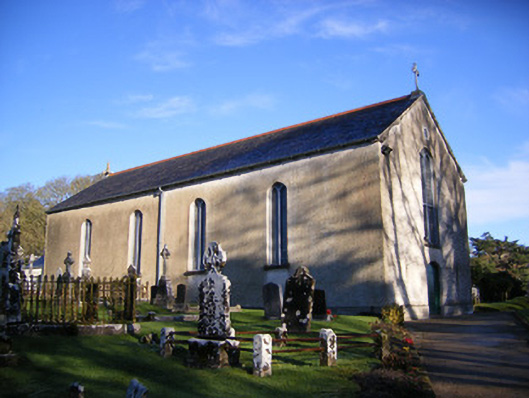 Catholic Church of Saint Patrick and Saint Brigidchurch/chapel · 759 yd
 Garret IslandCastle, unclassified · 871 yd
 Pedunculate OakPedunculate Oak · 1735 yd
 The SpectaclesVisitor information · 1.1 mi
 Lough Gur Heritage CentreVisitor information · 1.1 mi
 Glen BogForest · 2.2 mi