What is recorded here
In rough pasture, located in a strip of lowlying pastureland, 200m E of the coastline, with easily accessible beaches 200m to SE and 500m to N.
Slightly raised circular area (10.4m N–S; 8m E–W) defined by a low, degraded earth and stone bank (Wth c. 2.5m; int. H 0.1m; ext. H c. 0.7m). Stones of various sizes protrude randomly from the bank. The inner face of the bank is poorly defined, barely rising above interior ground level, and the external face is slumped.
There is a NNE–SSW field fence immediately to E of the enclosure, and a there is a house, garden and associated outbuildings immediately to N.
Compiled by: Jane O'Shaughnessy
Date of upload: 7 February 2020
The monument record does not grant public access. Check the route and ask the landowner before entering private land.
- What survives
- Recorded monument
Places near here
 Brnabaun BeachBeach / strand · 438 yd
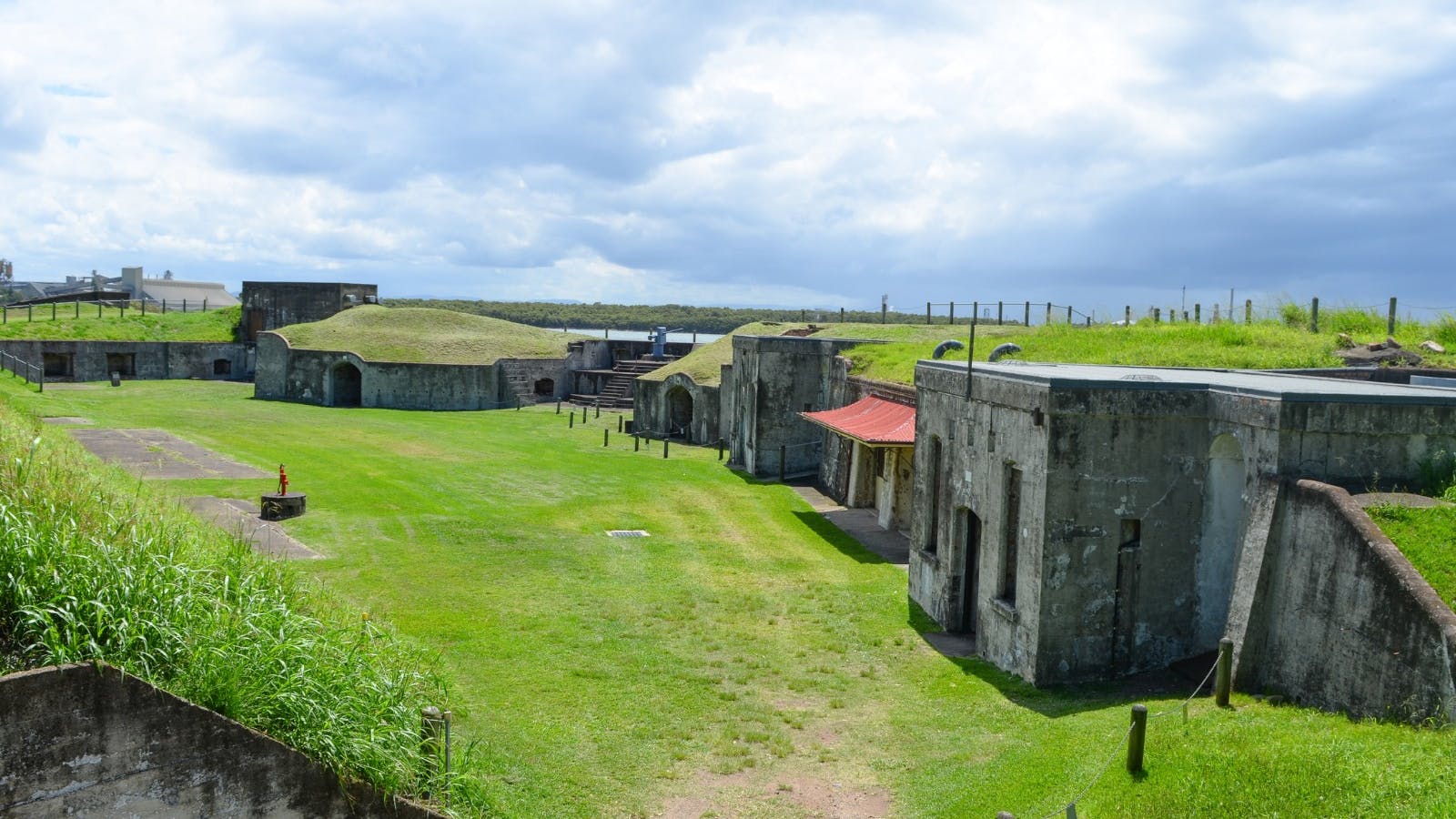 Promontory fortPromontory fort, coastal · 1042 yd
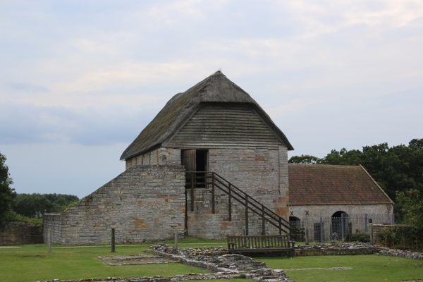 Enclosure in RoonkeelEnclosure · 1079 yd
 Bunlough StrandBeach / strand · 1168 yd
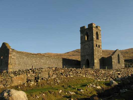 Gowlaun Catholic Chapelchurch/chapel · 1401 yd
 foot bridgefoot bridge · 2.0 mi
 Silver StrandBeach / strand · 3.4 mi
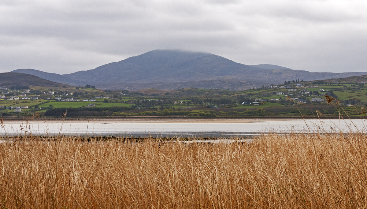 Inishdegil BegIslet · 3.6 mi
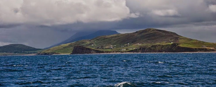 Carricknaglamph IslandIslet · 3.7 mi
 GubanillaunHeadland · 4.6 mi
 Ben BuryMountain / peak · 5.2 mi
 MweelreaMountain / peak · 5.2 mi