What is recorded here
A substantial togher (L 180m NW-SE; av. Wth. 3m; av. D 0.5m) was recorded at five locations (at NGR's; 280401 233397; 280381 233431; 280351 233481; 280321 233528 and 280304 233557) across six Bord na Mona peat production fields. The superstructure was composed mainly of closely spaced longitudinal roundwoods and planks with occasional smaller roundwoods and brushwoods packed between and underneath. The togher is orientated NW-SE and extends from a hill at the N edge of the bog and runs into privately controlled turbary plots to the east of the main Bord na Mona production bog. Three pieces of wood were sampled and identified as alder, birch and rowan/hawthorn, and a date of 660 to 890AD was obtained for the monument.
Compiled by: Gearóid Conroy
Date of upload: 10 June 2011
The monument record does not grant public access. Check the route and ask the landowner before entering private land.
- What survives
- Recorded monument
Places near here
 The Grill ShackHeritage attraction · 1004 yd
 St. Peters WellHoly well · 1742 yd
 St Peters HillEnclosure · 1.0 mi
 Church in DunmurraghillChurch · 1.4 mi
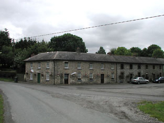 worker's houseworker's house · 1.5 mi
 9/11 MemorialMemorial · 1.8 mi
 Donadea CastleCastle, tower house · 2.0 mi
 Donadea Forest ParkVisitor information · 2.0 mi
 Site of Dunfierth CastleCastle, unclassified · 3.4 mi
 Ballynafagh Bog Special Area of ConservationNature reserve · 3.6 mi
 Loughtown CovertWood · 3.6 mi
 Grand Canal WayWalking route · 4.5 mi