What is recorded here
Indicated is a fairy fort in County Cavan, Ireland. It is a raised almost circular area about thirty metres across, planted with trees and set in low wet marshy ground. People may have lived there before forgetting the name, or the fairies may have taken the fort back when the marsh rose. The fort still stands marked on old maps, waiting for someone to notice it is not ordinary.
Marked 'Fort' on OS 1836 and 1876 eds. Raised almost circular area (diam. c. 30m) which has been planted with trees. Situated in low-lying wet marshy ground.
The above description is derived from the published 'Archaeological Inventory of County Cavan' (Dublin: Stationery Office, 1995). In certain instances the entries have been revised and updated in the light of recent research.
Date of upload/revision: 22 December 2008
The monument record does not grant public access. Check the route and ask the landowner before entering private land.
- What survives
- Recorded monument
Places near here
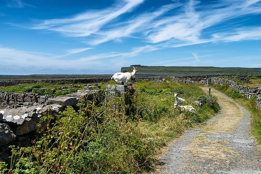 Granshagh or Riverview Fort (Site of)Enclosure · 1006 yd
 IndicatedFairy fort / earthen ringfort · 1094 yd
 Duck IslandIsland · 1656 yd
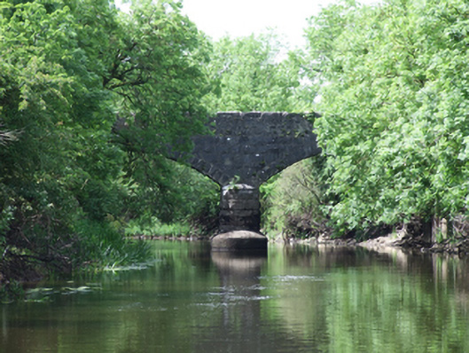 Urney Bridgebridge · 1657 yd
 Giants GraveArchaeological place · 1759 yd
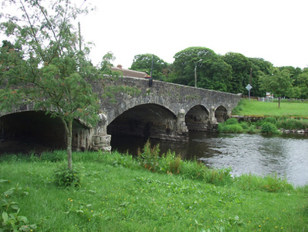 Derrygarra UpperMountain / peak · 1.1 mi
 Saint Aidan's Catholic Churchchurch/chapel · 1.2 mi
 Sheepwalk PlantationForest · 1.4 mi
 Skin-em-alive WoodWood · 1.6 mi
 DrumcalpinMountain / peak · 1.8 mi
 Annagh Lough BeachBeach / strand · 1.9 mi
 InishmuckIsland · 2.0 mi