What is recorded here
On a SE-facing slope in marshy pastureland. This fairly well-preserved fulacht fia is defined by a horseshoe-shaped mound (14.9m E-W; 14.2m N-S; H 0.9m) of grassed-over stone and black soil, with an irregular central depression which opens towards the N. Shallow linear depressions are visible to the E and W of the trough area. This monument is the westernmost example of a group of three/possibly four fulachta fia: see also GA108-067001-, GA108-067002- and GA108-067003-.
Compiled by: Galway Archaeological Survey, UCG
Date of upload: 25 November 2019
The monument record does not grant public access. Check the route and ask the landowner before entering private land.
- What survives
- Recorded monument
Places near here
 Enclosure in Derry (longford By.)Enclosure · 794 yd
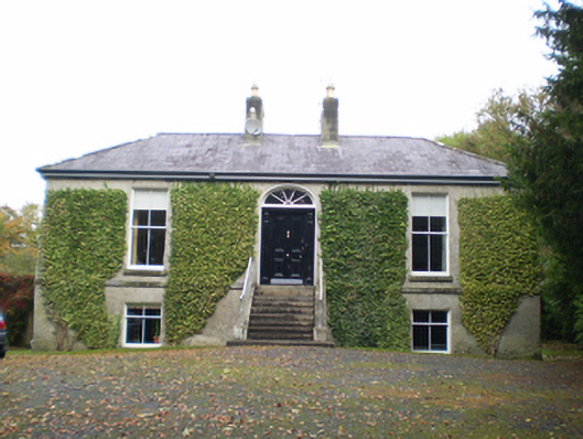 Derryormondehouse · 1044 yd
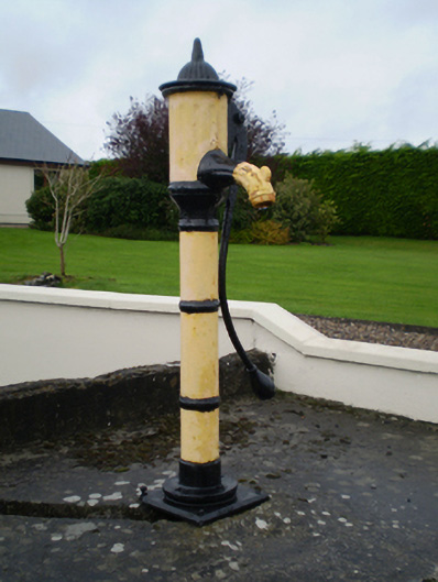 water pumpwater pump · 1074 yd
 KnockaunnabastyArchaeological place · 1179 yd
 Friars IslandIsland · 1.7 mi
 CastleCastle, unclassified · 1.9 mi
 Ballymacegan IslandIsland · 2.0 mi
 Lismore CastleCastle, tower house · 2.2 mi
 MeelickVisitor information · 2.3 mi
 Redmond HillMountain / peak · 3.3 mi
 Cregg WoodForest · 3.6 mi
 Silver FirSilver Fir · 4.3 mi