What is recorded here
Indicated is a crannog in County Cavan, Ireland. Two small islands sit in Lough Oughter, now joined to the mainland, their rock outcrops strewn with boulders. The outer island rises barely forty-five centimetres above the old lake level, yet it once held a circular cairn wide enough to circle twice before returning to your starting point. People lived there, dropped refuse, stacked stones, and left the water to swallow the path back.
Two small islands in Lough Oughter, c. 25m and c. 60m from the shoreline respectively. Davies (ITA Survey 1942) noted that both islands are now connected to the mainland and described them as comprising rock outcrop strewn with boulders. The outer island rises 0.45m above the old lake level. Here Davies discovered a roughly circular cairn (diam. c. 12m; H c. 0.9m) containing a thin layer of settlement refuse (Davies 1942, 17).
The above description is derived from the published 'Archaeological Inventory of County Cavan' (Dublin: Stationery Office, 1995). In certain instances the entries have been revised and updated in the light of recent research.
Date of upload/revision: 22 December 2008
The monument record does not grant public access. Check the route and ask the landowner before entering private land.
- What survives
- Recorded monument
Places near here
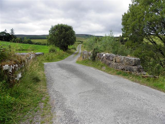 Derries UpperMountain / peak · 415 yd
 Old FortEnclosure, large enclosure · 1244 yd
 Inch IslandIslet · 1267 yd
 Drumgoon Bog WoodForest · 1295 yd
 Killykeen Forest ParkForest · 1715 yd
 Trinity Island WoodForest · 1734 yd
 Lough OughterLake and island landscape · 1.0 mi
 Woodenhouse BayBay · 1.1 mi
 Court tomb in GartnanoulCourt tomb · 1.1 mi
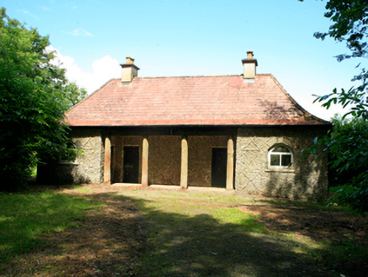 Killykeen Cottagecottage ornee · 1.2 mi
 Abbey FieldChurch · 1.5 mi
 Derinish MoreMountain / peak · 1.8 mi