What is recorded here
No amount of thinking can invent a new fact about Derreenboy Upper. The available description contains a D-shaped enclosure, an internal division, dry-stone walls, a shallow slope position and no obvious entrance. I can write that as a clear factual paragraph, but I would not claim to know whether it was a hut, a shelter, a boundary marker or a misread feature without evidence.
3m east of field boundary (CO104-053----) is a small D-shaped enclosure with an internal division. It is partially dug into the slope and measures internally c. 5m SE-NW and c. 3m SW-NE. An internal division divides it into two unequal parts. The walls are dry-stone walling c 0.6m W with a max. H of 0.4m. There is no obvious entrance.
Compiled by: Tony Miller
Date of upload/revision: 13 February 2023
The monument record does not grant public access. Check the route and ask the landowner before entering private land.
- What survives
- Recorded monument
Places near here
 Field boundary in Derreenboy UpperField boundary · 1 yd
 Platform in Derreenboy UpperPlatform · 241 yd
 Old Stone CottagesHeritage attraction · 1414 yd
 Derrynafulla SWMountain / peak · 1.1 mi
 Glenlough MountainMountain / peak · 1.5 mi
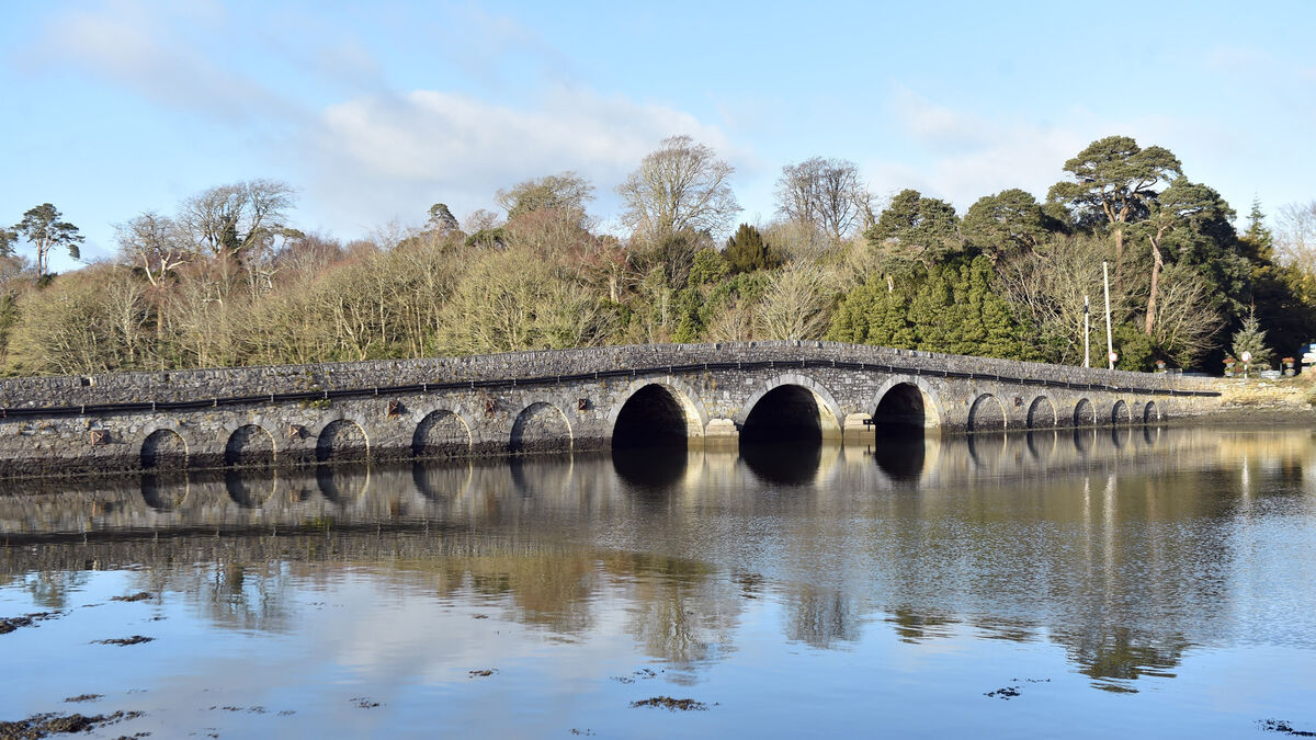 Bridge in Coorannel,derrynafullaBridge · 1.6 mi
 Glengarriff WoodsWood · 2.1 mi
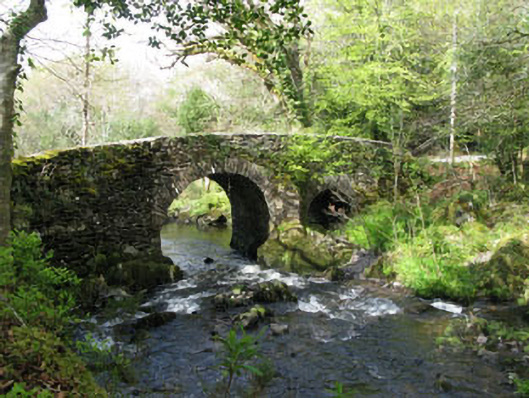 Glengarriff Nature Reservebridge · 2.4 mi
 Lady Bantry's LookoutViewpoint · 2.5 mi
 Graveyard in CappyaughnaGraveyard · 3.0 mi
 DroppaCliff · 3.2 mi
 The Blue PoolHeritage attraction · 3.2 mi