What is recorded here
Not visible at ground level. The aerial photographic and cartographic evidence indicates that this may be the site of a levelled deerpark boundary of unknown date.
The above description is derived from the published 'Archaeological Inventory of County Offaly' (Dublin: Stationery Office, 1997). In certain instances the entries have been revised and updated in the light of recent research.
Date of upload: 23 May 2011
The monument record does not grant public access. Check the route and ask the landowner before entering private land.
- What survives
- Recorded monument
Places near here
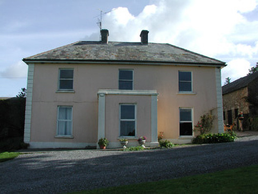 Pigeonstown Housefarm house · 597 yd
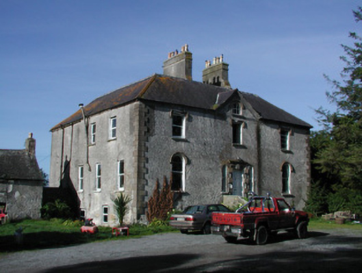 Lettybrook Housecountry house · 727 yd
 Enclosure in LackaroeEnclosure · 878 yd
 Stone CrossCross, High cross (present location) · 1223 yd
 Castletown and GlinskVisitor information · 1231 yd
 Kinnitty Castle LoopWalking route · 1301 yd
 Slieve Bloom Mountain Bike TrailVisitor information · 1447 yd
 OutlinedCastle, motte · 1462 yd
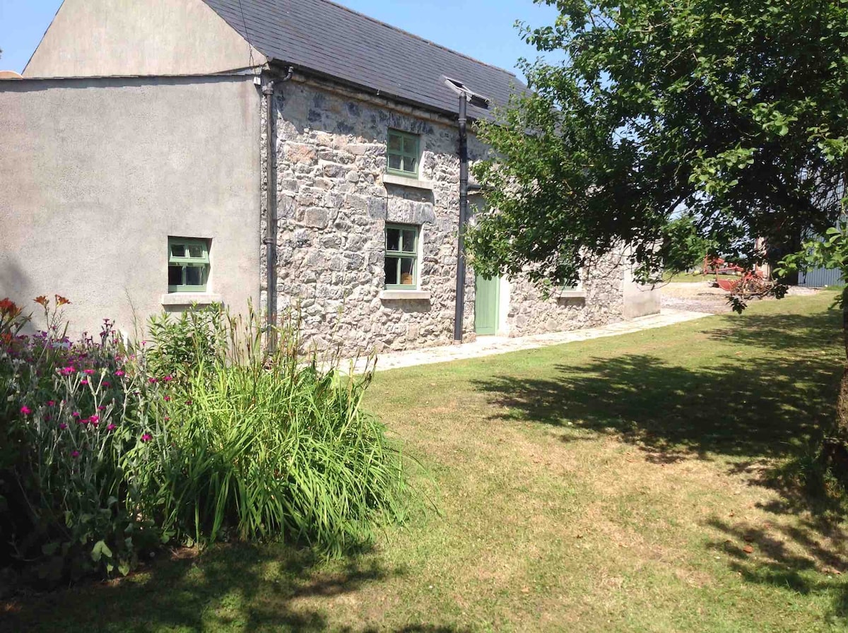 Pigeonstown WoodForest · 1474 yd
 Mount IvyWood · 1594 yd
 Castle (Site of)Castle, unclassified · 1693 yd
 Graveyard in LetterGraveyard · 1.4 mi