What is recorded here
Deer Park Farms still carries the name RATH, a reminder that human hands shaped the land before modern fields appeared. The official record preserves the site without inventing a date, yet the name suggests a boundary, a ring, or a place set apart. Under the farm’s ordinary surface, that old distinction may still hold, waiting for someone to walk the field and remember what the land was before it became property.
The official Northern Ireland record identifies this as RATH. Recorded period: E.CHRIST.. The official map point was placed at the centre of the recorded archaeological site from the source map reference.
The monument record does not grant public access. Check the route and ask the landowner before entering private land.
- What survives
- Recorded monument
Places near here
 ENCLOSURE in DunteigeENCLOSURE · 1372 yd
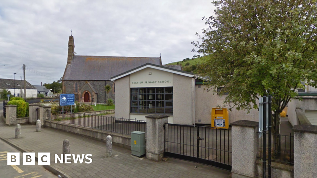 AP Cropmark: Possible circular enclosure in AughaboyAP Cropmark: Possible circular enclosure · 1620 yd
 Craigy HillMountain / peak · 1.3 mi
 Ballygilbert HillMountain / peak · 2.0 mi
 Glenarm ForestForest · 2.7 mi
 Presbyterian ChurchChurch · 3.9 mi
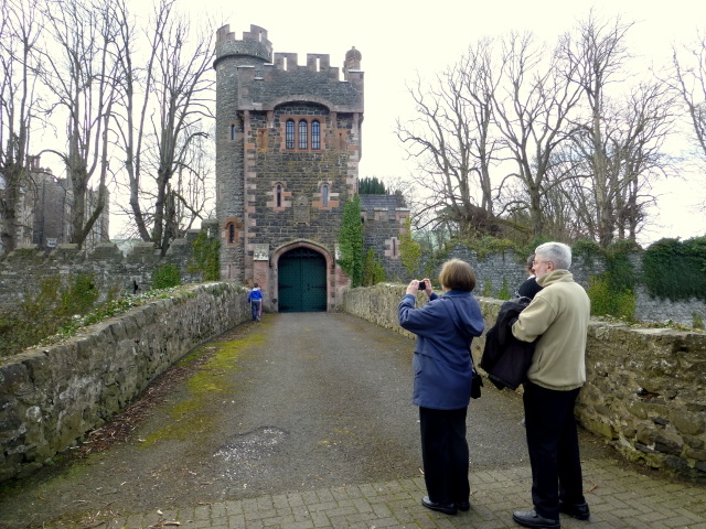 CASTLE (site of) in Town Parks (glenarm)CASTLE (site of) · 4.0 mi
 Glenarm CastleCastle · 4.0 mi
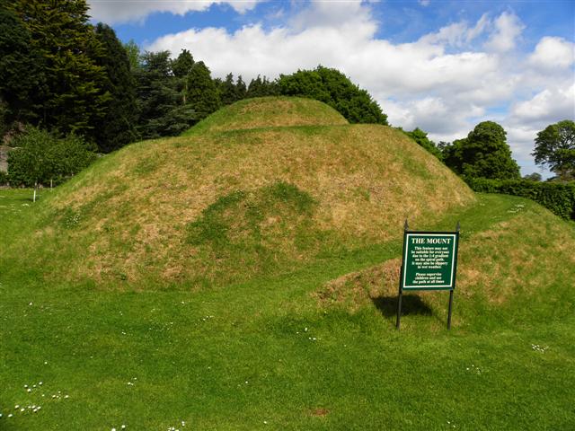 The MountViewpoint · 4.0 mi
 FRANCISCAN FRIARY & CHURCH (in ruins) in Cloney, GlenarmFRANCISCAN FRIARY & CHURCH (in ruins) · 4.2 mi
 Ballygally CastleHeritage attraction · 4.3 mi
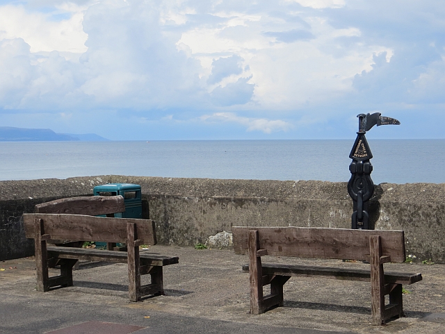 Millennium MilepostVisitor information · 4.4 mi