What is recorded here
In improved pasture, on a gentle NW-facing slope. Levelled out, roughly oval area (dims. 32m NW-SE; 28m NE-SW) defined by scarp (Wth 6.8m; H 0.8m) around NW-half and low scarp (Wth 3.5m; H 0.35m) around SE-half. Interior is level and has a curvilinear depression around its perimeter SW-SSE.
Compiled by: Jean Farrelly
Date of upload: 26 August 2011
The monument record does not grant public access. Check the route and ask the landowner before entering private land.
- What survives
- Recorded monument
Places near here
 DuvcloyRoad, hollow-way · 701 yd
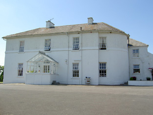 Hill Househouse · 898 yd
 Ballyknock HillMountain / peak · 938 yd
 Enclosure in Hughes'-Lot EastEnclosure · 975 yd
 Enclosure in BallyknockEnclosure · 1047 yd
 Rock of CashelHeritage attraction · 1355 yd
 Cormac's ChapelHeritage attraction · 1361 yd
 The Rock Of CashelVisitor information · 1378 yd
 Black mulberryBlack mulberry · 1570 yd
 Gortmakellis CastleCastle · 1.2 mi
 Castle in RuinsHouse, fortified house · 1.3 mi
 Dundrum Woods (Marl Bog)Forest · 7.8 mi