
What is recorded here
Situated on a slight N-facing slope on the S side of the W-E Nanny River, with the stream c. 550-650m to the N. A three storey, four bay house was built onto the SW wall of the tower house (ME027-013----) in the seventeenth century, and a NW-SE wing was added to its SW end, probably in the 18th century. The original ornate doorway to the seventeenth century wing is at the S end of the SE wall, and on the ground floor a passage leads past four rooms to a doorway in the S tower of the tower house. At the first and second floors the passages are on the NW side of the house but do not communicate with the tower house.
The above description is derived from the published 'Archaeological Inventory of County Meath' (Dublin: Stationery Office, 1987). In certain instances the entries have been revised and updated in the light of recent research.
Compiled by: Michael Moore
Date of revision: 28 June 2016
The monument record does not grant public access. Check the route and ask the landowner before entering private land.
- What survives
- Recorded monument
Places near here
 Enclosure in Calliaghstown (duleek Lower By.)Enclosure · 748 yd
 St. Columbkilles WellHoly well · 1407 yd
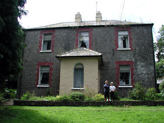 farm housefarm house · 1671 yd
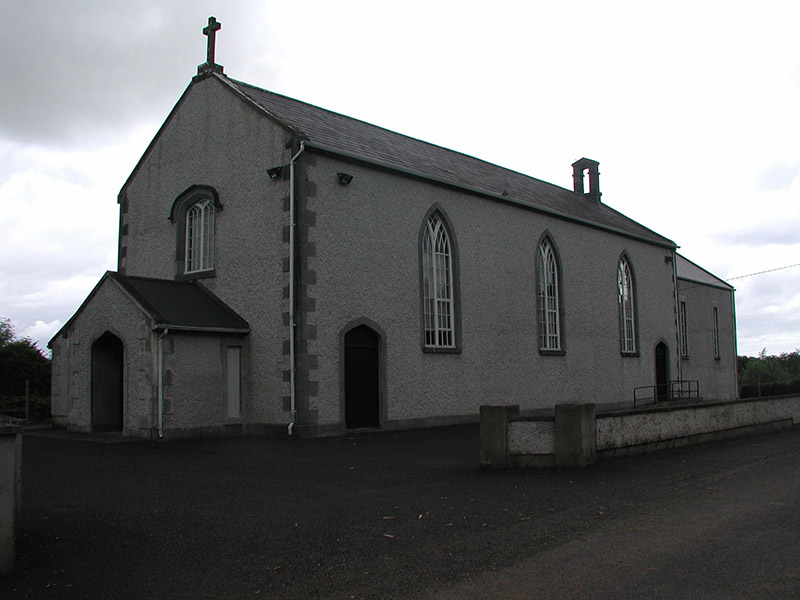 Saint Mary's Catholic Churchchurch/chapel · 1754 yd
 CastleCastle, ringwork · 1.1 mi
 MoatCastle, motte · 1.2 mi
 Battle of Julianstownbattle · 1.4 mi
 SycamoreSycamore · 3.6 mi
 Newgrange Business ParkMemorial · 3.8 mi
 Tullog WoodForest · 4.0 mi
 Beaulieu House and GardensHeritage attraction · 4.5 mi
 Yellow IslandIslet · 5.2 mi
Other information
Photo: Kieran Campbell · CC BY-SA 2.0