What is recorded here
Indicated is a fairy fort or earthen ringfort in Dangan (nugent), County Roscommon, Ireland. The site appears as a small circular enclosure on both the 1837 and 1914 Ordnance Survey six-inch maps, with recorded diameters of about fifteen and twenty-two metres respectively. It occupies the northwest-facing slope of a broad drumlin, where a low scarp still marks part of the southern and western edge although the full perimeter no longer remains visible.
Marked as a small circular enclosure on the 1837 (diam. c. 15m) and 1914 (diam. c. 22m) eds of the OS 6-inch map, and situated on the NW-facing slope of a broad drumlin. A scarp (H 0.4-1.1m) survives SW-N (C 23.5m) but the perimeter cannot be traced elsewhere.
Compiled by: Michael Moore
Date of revised upload: 9 June 2015
The monument record does not grant public access. Check the route and ask the landowner before entering private land.
- What survives
- Recorded monument
Places near here
 IndicatedFairy fort / earthen ringfort · 796 yd
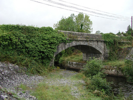 bridgebridge · 939 yd
 Embanked enclosureFairy fort / earthen ringfort · 1503 yd
 Site of Dangan CastleCastle, unclassified · 1689 yd
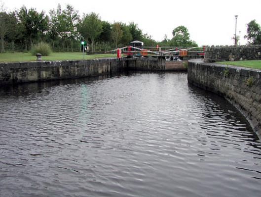 Albert Locklock · 1.1 mi
 Wildlife AreaNature reserve · 1.3 mi
 Patrick Gill Memorial Plaque (IRA)Monument · 1.5 mi
 Robert Strawbridge MemorialMemorial · 1.6 mi
 InishmoylinIslet · 3.0 mi
 Coarse IslandForest · 3.2 mi
 Dockery's IslandIslet · 3.3 mi
 CastlecarraCastle, unclassified · 3.7 mi