What is recorded here
In pasture, on a W-facing slope. The overgrown ruins of a two-storey house over a basement. The front elevation (W-facing) is of five bays with a central one-bay two-storey bow projection. The door ope is wide-arched with the remains of incorporated sidelights. There is an enclosed farmyard to the E. Also to the E is a garden enclosed by a stone-faced tree-lined bank. There is a ruined gatelodge c. 50m to the NW.
Compiled by: Elizabeth Byrne, Ursula Egan and Sheila Ronan, Archaeological Survey Unit, University College, Cork.
Date of upload: 31 January 2011
The monument record does not grant public access. Check the route and ask the landowner before entering private land.
- What survives
- Recorded monument
Places near here
 IndicatedFairy fort / earthen ringfort · 490 yd
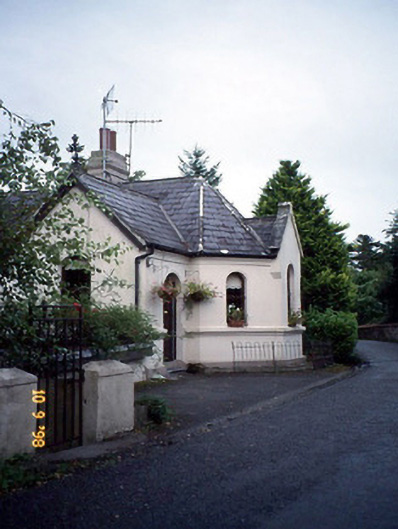 Coolclogher Housegate lodge · 753 yd
 Sheheree Bog Nature ReserveNature reserve · 758 yd
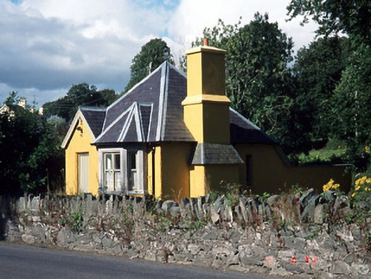 Muckross Housegate lodge · 776 yd
 Cross (present location) in CarrigafreaghaneCross (present location) · 876 yd
 McCarthy Mor CastleCastle · 963 yd
 Flesk CastleCastle · 1456 yd
 Castlelough BayBay · 1.0 mi
 The Blue PoolGallery · 1.0 mi
 Muckross AbbeyHeritage attraction · 1.1 mi
 Osprey RockIsland · 1.2 mi
 Killarney First World War MemorialMemorial · 1.3 mi