What is recorded here
Fairy fort / earthen ringfort in Dalystown (fartullagh By.) is a fairy fort or earthen ringfort in Dalystown (fartullagh By.), County Westmeath, Ireland. A 1976 inspection recorded a large, roughly oval area at the eastern end of a low ridge, defined by an earth and stone bank that is visible from the west through north to the east. Faint traces of an outer fosse were also visible from the west through north to the east, while the bank itself was best preserved from the northeast and on the west.
This monument was inspected in 1976 and described as follows: 'At the E end of a small, low E-W ridge in good pasture with extensive views to the W. A large, roughly oval-shaped area (diam. 57m N-S; 66m E-W) defined by an earth and stone bank visible from W-N-E only. There are faint traces of an outer fosse visible from W-N-E only. The bank is best preserved from N-E and on the W. The bank is defaced at NE and NW by animal tracks and there is no indication of an original entrance. The interior slopes from NW to SE' (SMR file).
Compiled by: Caimin O'Brien
Date of upload: 06 March 2013
The monument record does not grant public access. Check the route and ask the landowner before entering private land.
- What survives
- Recorded monument
Places near here
 Dalystownhouse · 513 yd
 FriaryReligious house, Dominican friars · 698 yd
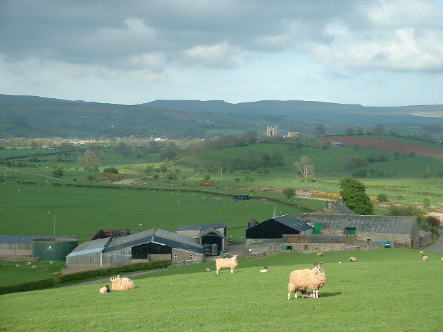 Hachured, ShantullaghFairy fort / earthen ringfort · 787 yd
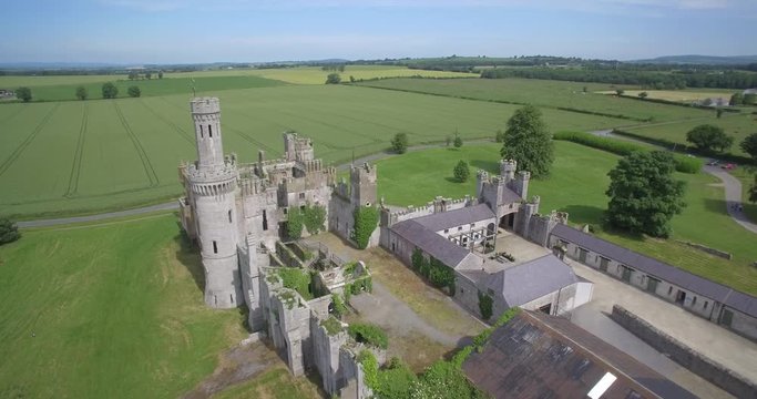 Enclosure in FriarstownEnclosure · 1210 yd
 Robinstown CastleCastle · 1.1 mi
 CastleCastle, tower house · 2.0 mi
 Ardan WoodWood · 5.4 mi
 Bonfire HillMountain / peak · 6.0 mi
 High WoodWood · 8.6 mi
 St. Columba's WellSpring · 8.8 mi
 Kilmalady HillMountain / peak · 8.9 mi
 Clara Bog BoardwalkHeritage attraction · 12 mi