
What is recorded here
Indicated is a low earthen ringfort on an east-facing pasture slope in County Kildare, its forty-four-metre circle rising slightly toward the centre. The bank is thin, barely forty centimetres high inside, yet it still marks the edge of a place where people once drew a line between themselves and the open field. No entrance or ditch remains visible, only the gentle swell of soil and the memory of a boundary reused for later pasture.
On an E-facing pasture slope. A roughly circular area (diam. 44.2m), which rises slightly towards the centre, is defined by a low earthen bank (int. H 0.2-0.4m; Wth 1m; ext. H 1m), reused as a later field boundary SSW-W-NNW. No visible trace of a fosse or entrance survives. Visible on a 2010 OSi Orthophoto.
Compiled by: Gearóid Conroy
Date of upload: 14 October 2013
This remains an important historical record, but the official description says the monument is no longer visible or has been destroyed. The monument record does not grant public access. Check the route and ask the landowner before entering private land.
- What survives
- No visible remains or recorded as destroyed
Places near here
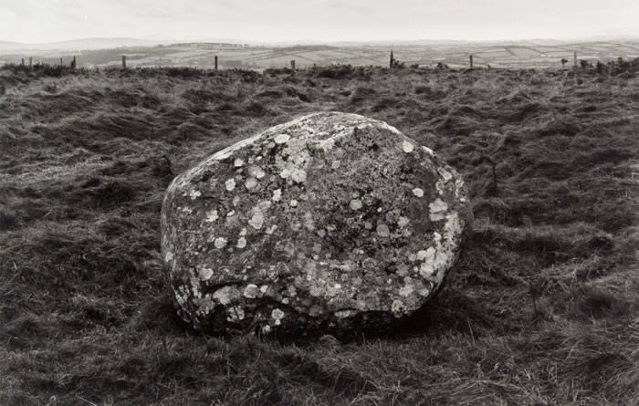 Enclosure in KilgowanEnclosure · 653 yd
 CastleCastle, unclassified · 994 yd
 Enclosure in CalverstownEnclosure · 1101 yd
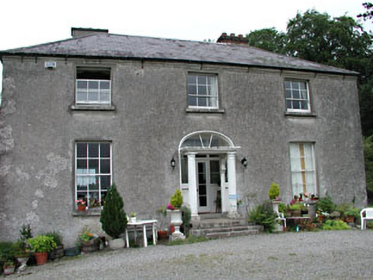 Calverstown Househouse · 1447 yd
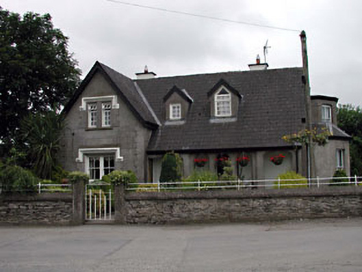 Grove Villahouse · 1521 yd
 HawthornHawthorn · 1.3 mi
 Castle (in Ruins)House, fortified house · 1.5 mi
 Narraghmore Nature ReserveForest · 1.9 mi
 Battle of Kilrushbattle · 3.7 mi
 1798 memorial stoneMonument · 4.0 mi
 Gorden Bennet Race memorialMemorial · 6.8 mi
 History of Moat of ArdscullVisitor information · 6.8 mi
Other information
Photo: Credit not shown in the picture search · Rights wording not checked; contact us if this picture should be removed