What is recorded here
Situated on a gentle E facing slope in undulating pasture. A cursus consisting of a u-shaped earthwork is visible on an aerial photograph aligned approximately NW–SE; the curve of the U is at the SE. It is defined by a low bank and external fosse that encloses an area c. 125m by 45m. The precise nature of this earthwork is unknown and the possibility that it could be the remnants of a cursus-type monument cannot be excluded.
DU025-087----_01.jpg: Oblique view of the earthwork from the S on Google maps.
Compiled by: Paul Walsh and Padraig Clancy
Date of upload: 15 April 2015
The monument record does not grant public access. Check the route and ask the landowner before entering private land.
- What survives
- Recorded monument
Places near here
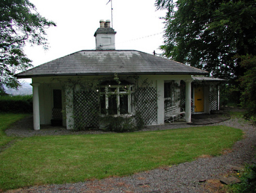 Killakee Housegate lodge · 234 yd
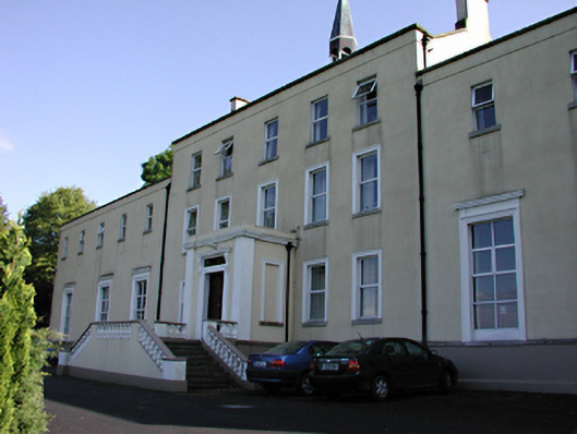 Orlagh Housecountry house · 648 yd
 Standing StoneArchaeological place · 780 yd
 Enclosure in KillakeeEnclosure · 798 yd
 Montpelier HillMountain / peak · 976 yd
 Hellfire WoodForest · 1160 yd
 Carty's CastleRuins · 1262 yd
 Dublin Mountains Way Hellfire & Massey SpurWalking route · 1366 yd
 Dublin Mountains Way - Hellfire & Massey spurWalking route · 1459 yd
 Massey WoodWood · 1465 yd
 Stocking Wood NewsVisitor information · 1672 yd
 Slieve GorraMountain / peak · 1726 yd