What is recorded here
Located in a coniferous forest on the W side of a col between the Comeragh Mountains and a hill c. 600m to the E. Subcircular area (dims. 23m E-W; 20.5m N-S: int. dims. 18m E-W; 16m N-S) defined by an earth and stone bank (Wth 7-8m; int. H 0.9m at N (downslope) to 2.5m at S; ext. H 2.3m at N to 2.7m at S) and a slightly flat-bottomed outer fosse (Wth of top 5.3-7m; Wth of base 1.5-2m; D 0.6m at N to 1.8m at S) which is separated from the bank, in places, by a distinct berm. The entrance (Wth 1.2m) and causeway (Wth 1.4m) are at NNE. Rath (WA002-035----) is c. 140m to the NE. The forest has been cleared and re-planted since 1989, but the monument is not now planted with trees.
The above description is derived from the published 'Archaeological Inventory of County Waterford' (Dublin: Stationery Office, 1999). In certain instances the entries have been revised and updated in the light of recent research.
Date of upload/revision: 27th August, 2010. Compiled by: Michael Moore.
The monument record does not grant public access. Check the route and ask the landowner before entering private land.
- What survives
- Recorded monument
Places near here
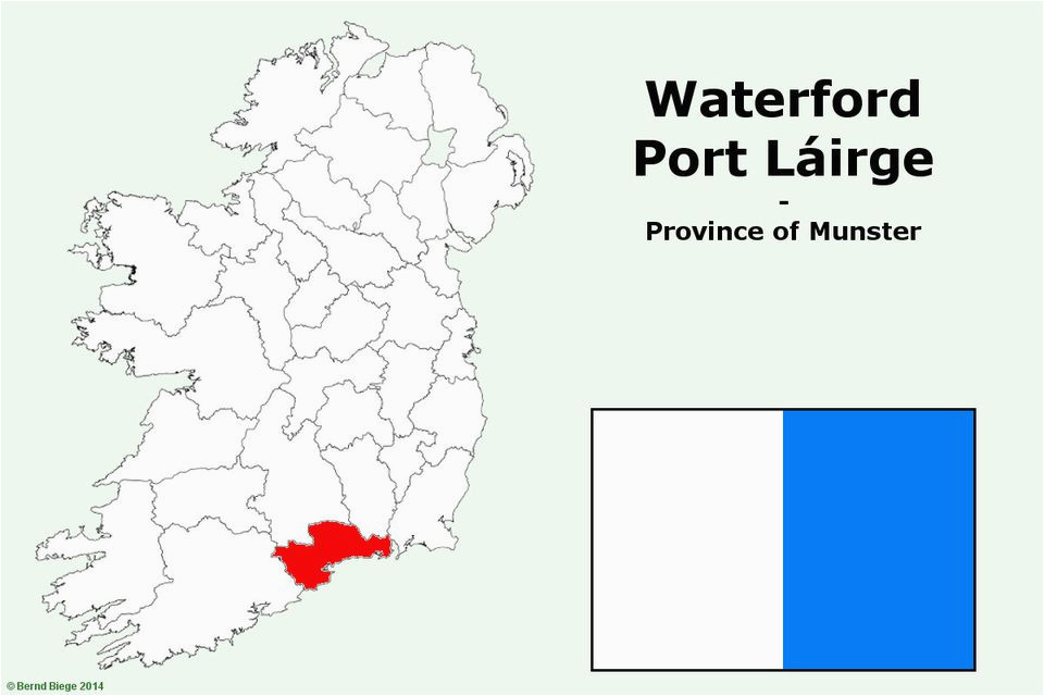 IndicatedFairy fort / earthen ringfort · 868 yd
 CarrigseegownaMountain / peak · 1105 yd
 Site of Aughnakilla Burial GroundBurial ground · 1305 yd
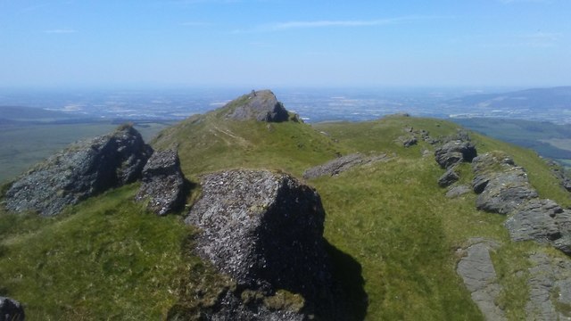 KnocksheegownaMountain / peak · 1478 yd
 Curraheen TrailsVisitor information · 1.9 mi
 Water millWater mill, horizontal-wheeled · 1.9 mi
 Glen Poer WoodForest · 2.3 mi
 The Boolas LoopWalking route · 2.4 mi
 The Gap WalkWalking route · 2.7 mi
 Ballyclohy Castle (in ruins)Castle, tower house · 3.1 mi
 Knocknacreha Housefarm house · 3.1 mi
 The Prison WaterfallWaterfall · 3.2 mi