What is recorded here
Fairy fort / ringfort in Curraghboy (rathconrath By.) is a fairy fort or ringfort in Curraghboy (rathconrath By.), County Westmeath, Ireland. The 1837 edition of the Ordnance Survey six-inch map depicted the site as a roughly oval area defined by a bank with a possible external fosse, while the 1837 Ordnance Survey Fair Plan map showed it as a small, roughly circular enclosure outlined by two concentric lines. A 1971 inspection described the location as a natural rise of rock outcrop with no enclosing elements visible, noting that those elements appear to have been levelled before that date.
Situated On W edge of forestry plantation, on poorly drained pasture. Depicted on 1837 ed. OS 6-inch map as a roughly oval-shaped area defined by a bank with possible external fosse. Shown on the 1837 OS Fair Plan map as a small, roughly circular-shaped enclosure outlined by two concentric lines. On this map the monument is annotated as a 'fort'. Depicted on the revised 1913 ed. OS 25-inch map as a roughly oval-shaped area (approx. dims. 21m E-W; 19.5m N-S) defined by a scarp. Monument described in a 1971 as a natural rise of rock outcrop with no enclosing elements visible. The enclosing elements of the monument appear to have been levelled before this date of inspection. The site of the monument is visible on Digital Globe aerial photography as an irregular-shaped area of scrub which has been excluded from the modern coniferous forest plantation.
Compiled by: Alison McQueen, Vera Rahilly and Caimin O’Brien
Date of upload: 05 December 2018
The monument record does not grant public access. Check the route and ask the landowner before entering private land.
- What survives
- Recorded monument
Places near here
 OutlinedFairy fort / earthen ringfort · 407 yd
 gates/railings/wallsgates/railings/walls · 625 yd
 IndicatedFairy fort / earthen ringfort · 880 yd
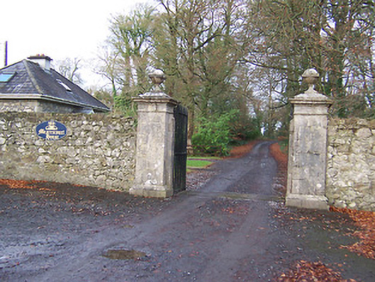 Mearscourt Housedemesne walls/gates/railings · 969 yd
 Site of CastleCastle, unclassified · 1.7 mi
 Hachured, 420 ODCastle, motte · 1.9 mi
 Sessile OakSessile Oak · 2.4 mi
 Ancient Ring FortWood · 2.6 mi
 Abbeyshrule AbbeyRuins · 3.7 mi
 Craft WorkshopHeritage attraction · 4.6 mi
 Guest ServicesVisitor information · 4.7 mi
 Goldsmith Birthplace, PallasVisitor information · 4.9 mi