What is recorded here
In pasture, just below the top of a ridge on a gentle W-facing slope and in a slight natural depression. A circular platform (8.4m N-S; c. 9m E-W) defined by a low scarp (H 0.65m). There is a shallow surface depression (3m E-W; 2.4m N-S) on the top of the platform at W. The siting of this barrow on a slight slope gives the impression of a fosse-like dip (Wth c. 3m) between it and the rising ground N-E. Rushes and occasional small clumps of brambles and gorse grow on and around it. It is indicated on the 1838 OS 6-inch map.
The above description is derived from the published 'Archaeological Inventory of County Sligo' compiled by Ursula Egan, Elizabeth Byrne, Mary Sleeman with Sheila Ronan and Connie Murphy (Dublin Stationery Office, 2005).
Date of upload: 18 January 2008
A portal dolmen dating to the Neolithic period; it represents an early form of megalithic tomb construction associated with communal burial practices in prehistoric Ireland.
The monument record does not grant public access. Check the route and ask the landowner before entering private land.
- What survives
- Recorded monument
Places near here
 Indicated (1838).Fairy fort / earthen ringfort · 387 yd
 Abbey CourtReligious house, Franciscan friars · 778 yd
 Enclosure in Knocknashee CommonEnclosure · 1570 yd
 CastleCastle, unclassified · 1627 yd
 KnocknasheeMountain / peak · 1.0 mi
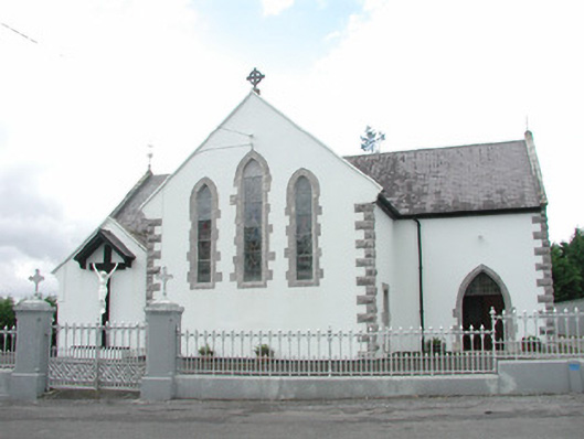 Catholic Church of the Sacred Heartchurch/chapel · 1.2 mi
 European ashEuropean ash · 2.6 mi
 Muckelty HillMountain / peak · 2.6 mi
 ElderElder · 2.9 mi
 Castle (in Ruins)Castle, tower house · 4.4 mi
 James MorrisonMemorial · 8.6 mi
 Old Cave Burial GroundArchaeological place · 8.6 mi