What is recorded here
Tumulus is a barrow, unclassified in Cummeen, County Sligo, Ireland. It stands 500m south of Cummeen Strand on an east-facing slope in undulating pasture, formerly part of the Cummeen House estate. The flat-topped, sheer-sided mound measures 17m north-south, 19m east-west and rises 4m, built of earth and stone. Grass covers most of the surface, though slippage reveals stone revetment in places.
Located 500m S of Cummeen Strand, the inner reaches of Sligo Bay, on an E-facing slope in undulating pasture, formerly part of the estate of Cummeen House. A flat-topped, sheer-sided mound (17m N-S; 19m E-W; H 4m) of earth and stone construction. The mound is largely grass covered though in areas of slippage, detail of stone revetment can be seen. On the W side there is a broad V-shaped depression, forming a path to the top (measuring at the top 4m E-W; 2m N-S; D 1m). Timoney (1984, 324, no. 17) suggests that this and a nearby cairn (SL014-047003-) may be 'nineteenth century demesne monuments on the Ormsby demesne'.
Compiled by: Patrick F. O'Donovan
Date of upload: 21 April 2011
Tumulus, Cummeen is a Bronze Age burial mound, likely dating to the early to middle first millennium BCE. Its location near Sligo Bay suggests it may be part of a broader network of ceremonial or funerary sites associated with the landscape of the west Irish seaboard.
The monument record does not grant public access. Check the route and ask the landowner before entering private land.
- What survives
- Recorded monument
Places near here
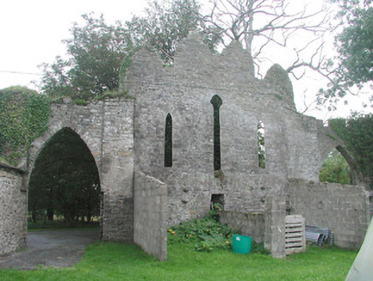 Cummeen Househouse · 217 yd
 Stone CircleEnclosure · 288 yd
 Enclosure in CummeenEnclosure · 494 yd
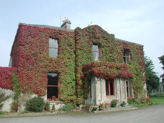 Woodville Househouse · 1093 yd
 Carrowmore Megalithic CemeteryHeritage attraction · 1.6 mi
 Carrowmore Visitors CentreVisitor information · 1.7 mi
 St. John's CathedralMemorial · 1.9 mi
 Famine MemorialMonument · 1.9 mi
 CastleCastle, Anglo-Norman masonry castle · 2.0 mi
 Knocknarea trailWalking route · 2.1 mi
 Castle (in Ruins)Castle, unclassified · 2.2 mi
 KnocknareaMountain / peak · 2.3 mi