
What is recorded here
Traces of broad cultivation ridges and field boundaries occur in the vicinity of the buildings [huts KE087-021----, KE087-022----; KE087-023----; KE087-024----; KE087-031----] and extend outwards over a wider area. The ridges curve to avoid some of the buildings.
The above description is derived from A. O'Sullivan and J. Sheehan (compilers), 'The Iveragh peninsula: an archaeological survey of South Kerry'. Cork University Press (1996), no. 1135. In certain instances the entries have been revised and updated in the light of recent research.
Date of upload: 31 July 2013
The monument record does not grant public access. Check the route and ask the landowner before entering private land.
- What survives
- Recorded monument
Places near here
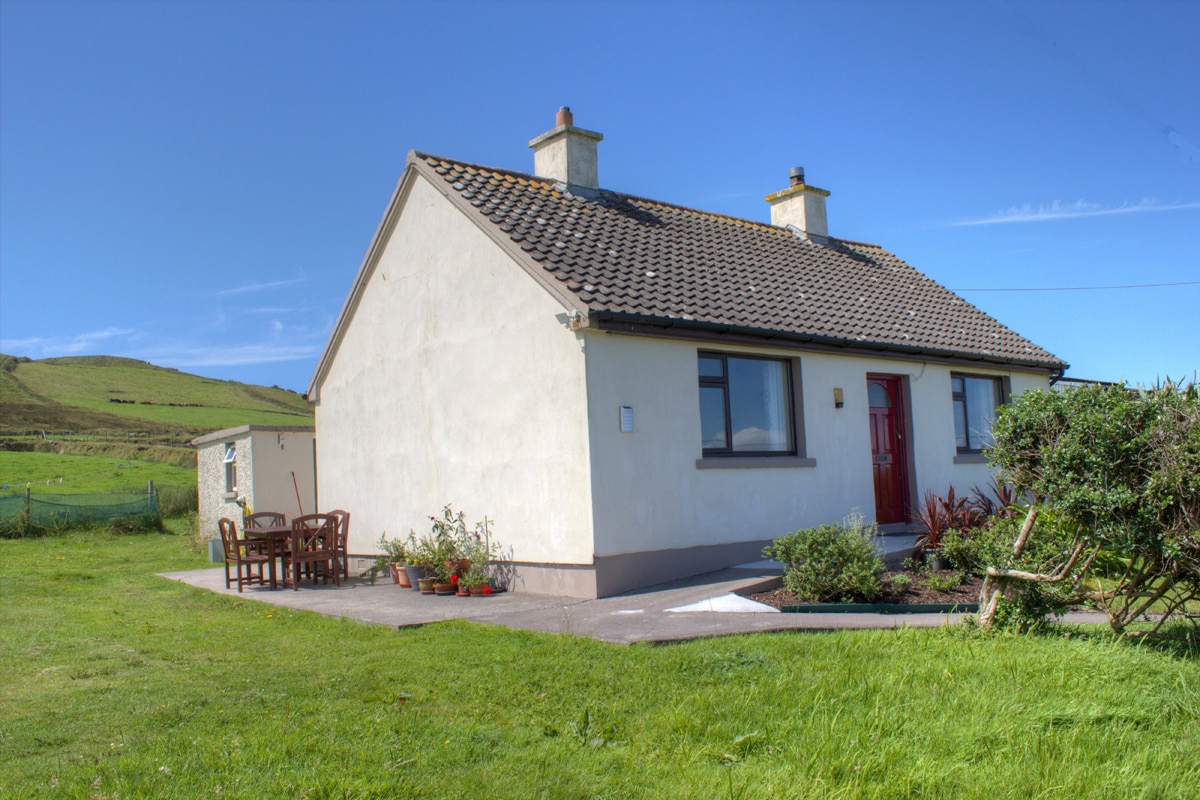 Hut site in BrayHut site · 47 yd
 Field boundary in BrayField boundary · 103 yd
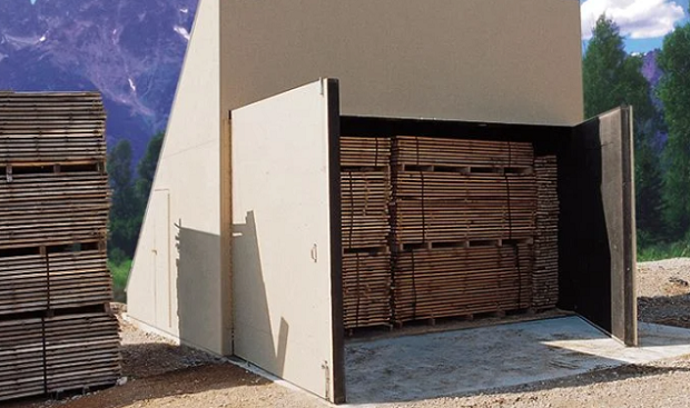 KilnKiln, corn-drying · 140 yd
 MillMill, unclassified · 459 yd
 Bray HeadMountain / peak · 775 yd
 Long IslandIslet · 1145 yd
 Horse IslandIslet · 1153 yd
 Telegraph Field Valentia IslandMemorial · 1.1 mi
 Kerry CliffsHeritage attraction · 1.7 mi
 Culloo RockViewpoint · 2.1 mi
 Sean LochaCliff · 2.4 mi
 Tráigh na SplinceBeach / strand · 2.5 mi
Other information
Photo: Credit not shown in the picture search · Rights wording not checked; contact us if this picture should be removed