
What is recorded here
On the S slopes of Bray Head. A collapsed masonry wall, at the SE side of a mound (diam. c. 20m; H 1m) of rushes and mosses, was interpreted as being the remnants of a possible millpond (Hayden 1997). Upslope from the wall there is a mass of waterlain silt (T 1m) with vegetable debris which appears to have accumulated in standing-water. In 1995 a section was cut across the feature and, although the results were inconclusive as little stonework survived, a radiocarbon date of AD 1410-1791 cal. was returned from the silt at the base of the section (ibid.). A boggy spring flows from the mound. Large stones, probably fallen masonry, are on the downslope side of the wall. A narrow trench, interpreted as being a possible tailrace (Mitchell et al. n.d.), is located in the field immediately to the E. There was no surface spread of silt, indicating that clear water, and not hill-wash, flowed down the trench. The evidence of a millpond here suggests that there was a mill at or near this location at one time.
The above description is derived from the published 'Archaeological Inventory of County Kerry. Volume I: South-West Kerry' (Dublin: Stationery Office, 2009). In certain instances the entries have been revised and updated in the light of recent research.
Date of upload: 30 May 2011
The monument record does not grant public access. Check the route and ask the landowner before entering private land.
- What survives
- Recorded monument
Places near here
 Field system in BrayField system · 237 yd
 RoadRoad, road/trackway · 251 yd
 Enclosure in BrayEnclosure · 357 yd
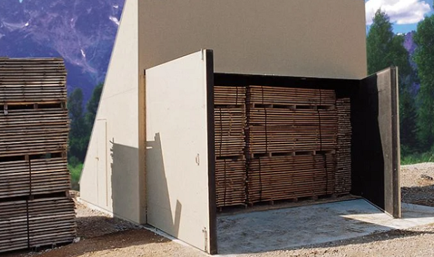 KilnKiln, corn-drying · 471 yd
 Bray HeadMountain / peak · 789 yd
 Horse IslandIslet · 1177 yd
 Long IslandIslet · 1363 yd
 Telegraph Field Valentia IslandMemorial · 1567 yd
 Kerry CliffsHeritage attraction · 1.8 mi
 Culloo RockViewpoint · 1.9 mi
 Sean LochaCliff · 2.6 mi
 Tobairin Holy WellSpring · 2.7 mi
Other information
Photo: Credit not shown in the picture search · Rights wording not checked; contact us if this picture should be removed