What is recorded here
Fairy fort / earthen ringfort in Cully is a fairy fort or earthen ringfort in Cully, County Sligo, Ireland. It occupies a gentle south-facing slope in pasture and contains an oval area bounded by earthen banks, a scarp and a dry fosse. A field boundary cuts through the interior while a hedgerow truncates the western inner bank.
In pasture, on the gentle S-facing slope of a low ridge. An oval area (36 N-S; 40m E-W) defined by a gapped earthen bank (Wth 1.5m; int. H 0.2m; ext. H 0.4m) NW-N and by a scarp (H 0.9m) N-SW. An intervening flat-bottomed dry fosse (Wth 7m) is evident SW-S. An outer bank (Wth 2.25m; int. H 0.75m; ext. H 0.2m) is evident NW-SE with a short section surviving along the W arc. The S portion of the interior is raised to compensate for the hillslope. A N-S field boundary bisects the interior. The inner bank is truncated at W by a N-S hedgerow.
The above description is derived from the published 'Archaeological Inventory of County Sligo' compiled by Ursula Egan, Elizabeth Byrne, Mary Sleeman with Sheila Ronan and Connie Murphy (Dublin Stationery Office, 2005).
Date of upload: 18 January 2008
The monument record does not grant public access. Check the route and ask the landowner before entering private land.
- What survives
- Recorded monument
Places near here
 IndicatedFairy fort / earthen ringfort · 1727 yd
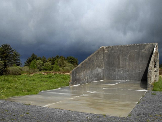 handball alleyhandball alley · 1.7 mi
 Religious houseReligious house, unclassified · 2.0 mi
 TobernacullyHoly well · 2.5 mi
 HawthornHawthorn · 4.4 mi
 Procession Of The SoulsMemorial · 4.8 mi
 Castle (in Ruins)Castle, tower house · 4.9 mi
 Castle (Site of)Castle, unclassified · 4.9 mi
 Brabazon WoodsForest · 5.0 mi
 Youth Memorial GardenMemorial · 5.2 mi
 Old Cave Burial GroundArchaeological place · 6.5 mi
 Lough Talt TrailVisitor information · 7.9 mi