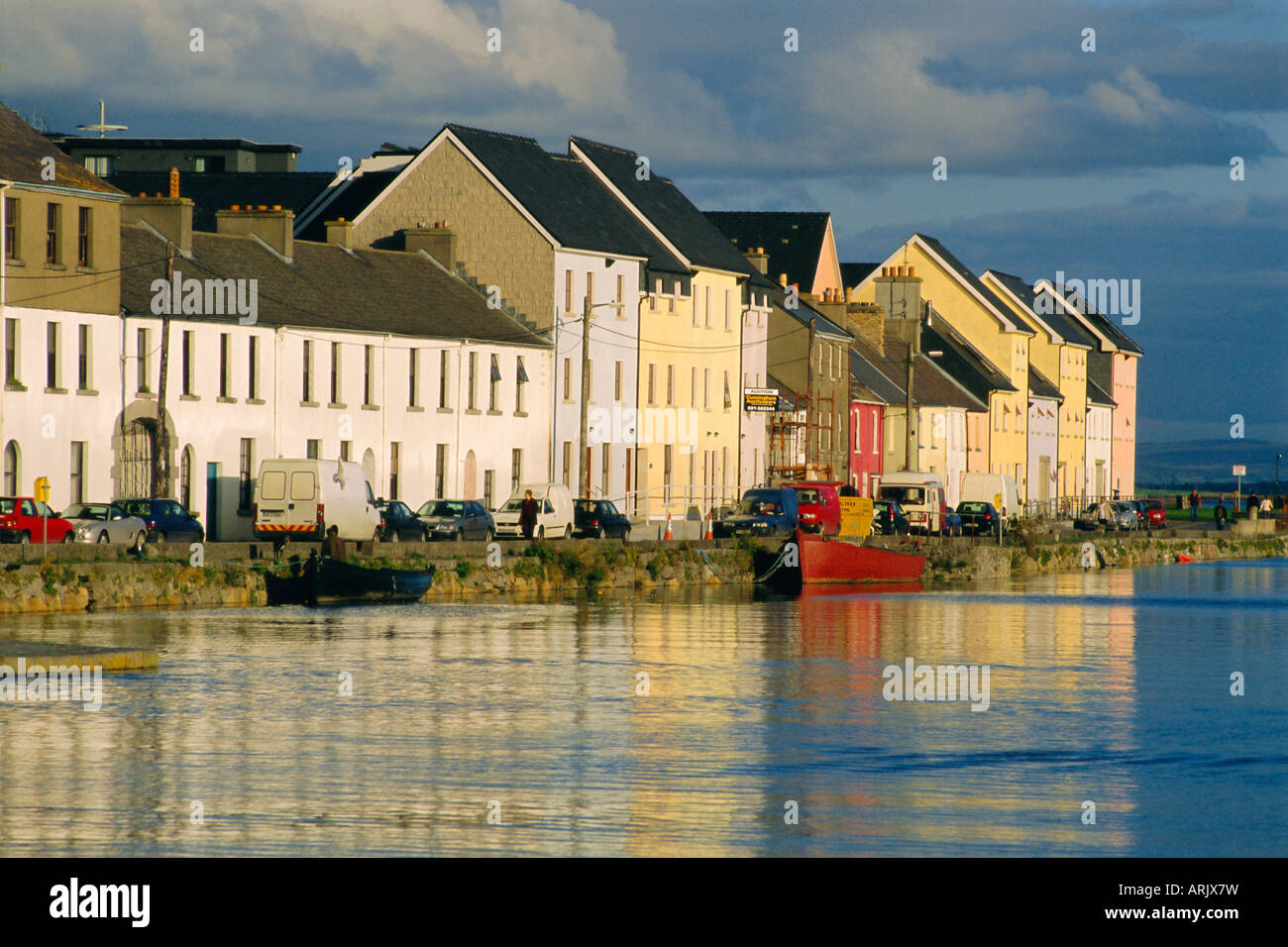
What is recorded here
Indicated is a lost circular enclosure in County Galway, marked on a 1932 survey but erased when neighbours took gravel from the pasture. It stood thirty metres wide above the Abbert River, large enough to hold a herd or a secret, yet human hunger reduced it to road-making dust. The land keeps no stone record because people needed more than wonder. Forgetting is not absence; it is the shape of local life.
In pastureland overlooking bogland and the Abbert River to N. Marked on 3rd ed. of OS 6-inch map (1932) as a circular enclosure (D c. 30m). No visible surface trace survives and a local person recalled that the site was used as a source of gravel.
The above description is derived from the published 'Archaeological Inventory of County Galway Vol. II - North Galway'. Compiled by Olive Alcock, Kathy de hÓra and Paul Gosling (Dublin: Stationery Office, 1999).
Date of upload: 05 August 2010
The monument record does not grant public access. Check the route and ask the landowner before entering private land.
- What survives
- Recorded monument
Places near here
 monumentmonument · 717 yd
 LaghtaLeacht cuimhne · 726 yd
 R.C. Chapel (in ruins)Chapel · 1013 yd
 Knockmoy AbbeyHeritage attraction · 1242 yd
 Field system in Abbey (tiaquin By.)Field system · 1290 yd
 CastleCastle, unclassified · 1.0 mi
 Common WhitebeamCommon Whitebeam · 2.6 mi
 SycamoreSycamore · 2.6 mi
 CashlaundarraghCastle · 2.9 mi
 Menlough IRAMemorial · 7.7 mi
 Mass RockNamed rock · 9.7 mi
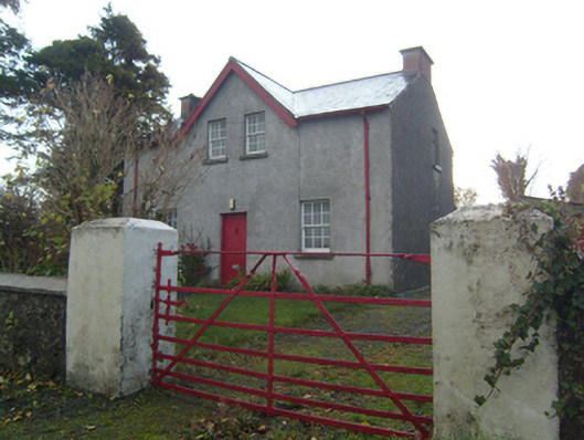 Rose Villaschool master's house · 1478 yd
Other information
Photo: Credit not shown in the picture search · Rights wording not checked; contact us if this picture should be removed