What is recorded here
This tall standing stone, not marked on the OS maps, is located at the base of the N foothills of Macgillycuddy's Reeks, in low-lying pasture between the Gaddagh and Laune rivers. Of somewhat irregular elevation, it stands 2.55m high and measures a maximum of 1.3 x .5m at base; NE-SW.
The above description is derived from A. O'Sullivan and J. Sheehan (compilers), 'The Iveragh peninsula: an archaeological survey of South Kerry'. Cork University Press (1996), no. 160. In certain instances the entries have been revised and updated in the light of recent research.
Date of upload: 28 July 2013
Likely dating to the Neolithic or Bronze Age, this standing stone may have functioned as a territorial marker, ritual monument, or astronomical alignment point. No specific folklore or recorded use is associated with the site.
The monument record does not grant public access. Check the route and ask the landowner before entering private land.
- What survives
- Recorded monument
Places near here
 IndicatedEnclosure · 474 yd
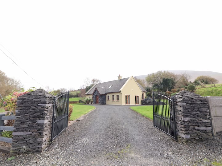 Man-made underground passage in Cullenagh UpperMan-made underground passage · 592 yd
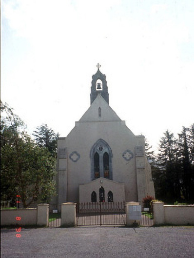 Saint Mary's Catholic Churchchurch/chapel · 820 yd
 Castle Core (in Ruins)Castle, tower house · 1561 yd
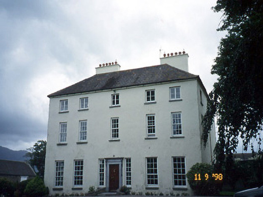 Churchtown Housecountry house · 1664 yd
 Dunloe Ogham StonesHeritage attraction · 1.1 mi
 Japanese pagoda treeJapanese pagoda tree · 1.4 mi
 European YewEuropean Yew · 1.4 mi
 Castle (in Ruins)Castle, tower house · 1.4 mi
 Tomies Mountain North TopMountain / peak · 2.7 mi
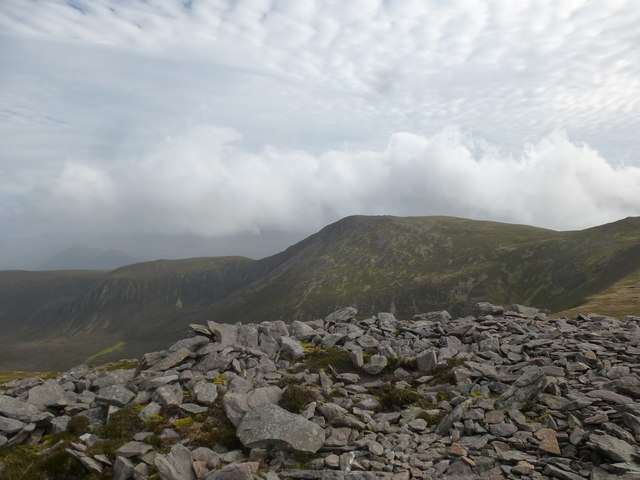 Tomies MountainMountain / peak · 3.2 mi
 Very small BridgeHeritage attraction · 3.5 mi