What is recorded here
Fairy fort / earthen ringfort in Culleen Beg is a fairy fort or earthen ringfort in Culleen Beg, County Westmeath, Ireland. The 1837 Ordnance Survey map depicts the site as a circular-shaped earthwork measuring approximately 20 metres from northwest to southeast and 17 metres from northeast to southwest. A 1980 description records the remains of an oval-shaped ringfort where the enclosing bank can be traced from west through northwest to north-northeast. The interior is obscured by dense vegetation, while the ground falls away sharply in the south and east quadrants where it has been quarried.
Situated on a rise (106m/348ft OD), in undulating pasture. Depicted on the 1837 ed. OS 6-inch map as a circular-shaped earthwork (approx. dims. 20m NW-SE; 17m NE-SW), annotated ‘Fort’ on the OS Fair Plan Map. Marked as an OS spot height on the revised 1913 ed. OS 25-inch map.
Monument described in 1980 as the remains of an oval-shaped ringfort enclosed by a bank that can be traced from W-NW-N-NE. The interior is obscured by dense vegetation, however the ground evidently falls away sharply in the S and E quadrants, where it has been quarried. There is a wide, grass covered depression immediately to S and SE of the monument which may be a backfilled quarry. Monument is visible on Digital Globe aerial photography as a partially tree-planted earthwork.
Compiled by: Alison McQueen, Vera Rahilly and Caimin O’Brien
Date of upload: 03 April 2019
The monument record does not grant public access. Check the route and ask the landowner before entering private land.
- What survives
- Recorded monument
Places near here
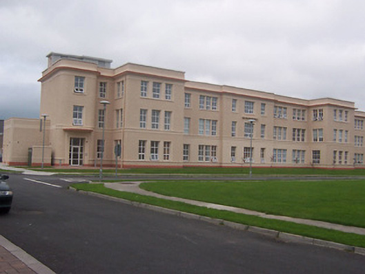 Saint Loman's Hpspitalhospital/infirmary · 1219 yd
 Partially indicatedFairy fort / earthen ringfort · 1393 yd
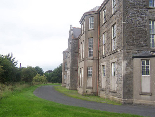 hospital/infirmaryhospital/infirmary · 1645 yd
 Partially hachuredFairy fort / earthen ringfort · 1722 yd
 Site of CastleCastle, unclassified · 1738 yd
 United Nations War MemorialMemorial · 1.4 mi
 Saint Brigid's WellSpring · 1.5 mi
 Augustinian Monks Memorial StatueMemorial · 1.5 mi
 Castle (in Ruins)Castle, tower house · 1.6 mi
 Mullingar Cathedral MuseumMuseum · 1.7 mi
 Long PlantingForest · 1.7 mi
 The Chimera GalleryGallery · 1.7 mi