What is recorded here
Fairy fort / earthen ringfort in Cullagh More is a fairy fort or earthen ringfort in Cullagh More, County Sligo, Ireland. The earthwork occupies a twenty-five-metre circular area within mature coniferous forestry. Two narrow earth banks frame a broad flat-bottomed fosse, while a four-metre break and causeway mark the original entrance. Field drains and boundary changes have altered parts of the external bank.
Situated in low-lying level mature coniferous forestry. Slightly raised circular area (diam. 25m) enclosed by a narrow bank of earth (Wth 3.1m; int. H 0.4m). At the external base of the bank is a broad flat-bottomed fosse (Wth 3.65m). Immediately outside the fosse is a narrow bank of earth (Wth 3.15m; int. H 0.8m). A field drain has been cut along the external base of the external bank and the bank incorporated into a field boundary SW-NE. An E-W orientated relic field bank and drain link to the external side of the external bank at SSW and at SSE. A section of the external bank has been almost entirely removed SE-SSE. A break (Wth 4m) in the internal bank, with a causeway across the fosse and a corresponding break in the external bank (Wth 3m) marks the position of the original entrance.
Compiled by: Patrick F. O'Donovan
Date of upload: 21 April 2011
The monument record does not grant public access. Check the route and ask the landowner before entering private land.
- What survives
- Recorded monument
Places near here
 Floods WoodForest · 215 yd
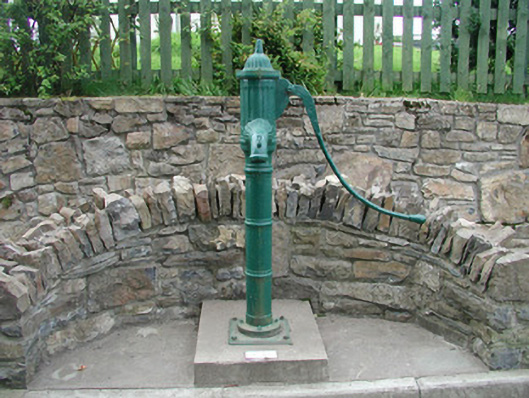 water pumpwater pump · 435 yd
 Sweathouse in Cooldrumman UpperSweathouse · 938 yd
 TobervogueArchaeological place · 1137 yd
 Paddy McGowan's WoodWood · 1234 yd
 Urlar Househouse · 1303 yd
 CastleCastle, unclassified · 1.0 mi
 Finned PointHeadland · 1.2 mi
 Castle (in Ruins)Castle, unclassified · 1.3 mi
 Grave of WB YeatsHeritage attraction · 1.6 mi
 Drumcliff CemeteryGraveyard · 1.6 mi
 Drumcliff BayBay · 2.3 mi