What is recorded here
Fairy fort / earthen ringfort in Cullagh More is a fairy fort or earthen ringfort in Cullagh More, County Sligo, Ireland. The 28m circular site sits on a low east-west ridge in pasture, enclosed by a narrow earth and stone bank. Farming changed the structure because the bank joined a field hedge, gained drystone rubble, and lost its eastern section. The original entrance and inner ditch are no longer visible.
Straddling the undulating summit of a low broad E-W orientated ridge, in gently undulating pasture. Raised circular area (diam. 28m) enclosed by a narrow bank of earth and stone (Wth 2.3m; int. H 0.2m; ext. H 1-1.6m). There is no fosse visible at ground level. The bank has been incorporated into field boundary hedge and the external face has been faced with drystone rubble. The bank has been removed E-NW and its circuit is defined by a scarp (ext. H 0.45m). The original entrance is not recognisable.
Compiled by: Patrick F. O'Donovan
Date of upload: 21 April 2011
This remains an important historical record, but the official description says the monument is no longer visible or has been destroyed. The monument record does not grant public access. Check the route and ask the landowner before entering private land.
- What survives
- No visible remains or recorded as destroyed
Places near here
 Floods WoodForest · 151 yd
 Sweathouse in Cooldrumman UpperSweathouse · 613 yd
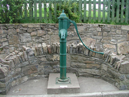 water pumpwater pump · 695 yd
 TobervogueArchaeological place · 815 yd
 Urlar Househouse · 1181 yd
 Paddy McGowan's WoodWood · 1258 yd
 CastleCastle, unclassified · 1.2 mi
 Castle (in Ruins)Castle, unclassified · 1.3 mi
 Finned PointHeadland · 1.3 mi
 Grave of WB YeatsHeritage attraction · 1.7 mi
 Drumcliff CemeteryGraveyard · 1.7 mi
 Drumcliff BayBay · 2.4 mi