What is recorded here
Indicated is a lost fairy fort in County Mayo, Ireland, where a farmyard now sits above the buried southern arc of its ring. The surviving earthwork hides beneath gorse and brambles, while the northern half has been levelled into ordinary use. It is the kind of place where human ambition and fantasy both claim to have built, and neither can be fully disproven.
In pasture, located on a low rise, with good views. Ground falls away steeply to the NE into a small stream valley.
This possible rath is shown on the 1837 OS 6-inch map as a circular embanked enclosure; the 1919 edition shows only the W half of the enclosure, depicted as a semi-circular, hachured area (diam. c. 30m N−S), bisected on its S edge by an E−W field boundary. The E−W field fence is extant; immediately to S it, a shallow E–W arc (L c. 20m) of bank (Wth c. 3m; int. H 0.3m; ext. H 1m) survives, representing the S arc of the enclosure. It is largely obscured by gorse and brambles. To N of the fence, the enclosure has been levelled, and the location is now occupied by a farmyard.
Compiled by: Jane O’Shaughnessy
Date of upload: 1 December 2020
The monument record does not grant public access. Check the route and ask the landowner before entering private land.
- What survives
- Recorded monument
Places near here
 bridgebridge · 757 yd
 IndicatedFairy fort / earthen ringfort · 1728 yd
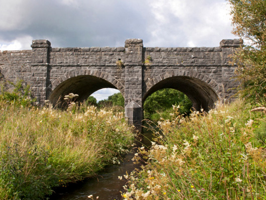 Sonnagh Bridgebridge · 1.5 mi
 Enclosure in Killeen (costello By., Kilbeagh Par.)Enclosure · 1.7 mi
 Procession Of The SoulsMemorial · 2.8 mi
 Brabazon WoodsForest · 2.9 mi
 Youth Memorial GardenMemorial · 3.2 mi
 HawthornHawthorn · 4.2 mi
 Castle (in Ruins)Castle, unclassified · 4.6 mi
 Hennigan's Heritage CentreHeritage attraction · 4.7 mi
 Thorn CaveCave · 5.8 mi
 Old Cave Burial GroundArchaeological place · 8.1 mi