
What is recorded here
Chapel Fort is an overgrown circular rath in County Galway, Ireland, with a shallow rectangular hollow at its centre. It sits 120m north of another ringfort, and its worn bank suggests people once shaped the land before forgetting the name. The gap at the southwest may be the original entrance, inviting entry into a place where memory has gone soft but the form still holds.
Some 120m N of another ringfort (GA099-057----). Poorly preserved overgrown circular rath (D 38m) defined by bank, no visible surface trace of which survives from ENE to S. A gap (Wth 2.5m) at SW may be original. In the centre of the interior is a shallow grassy subrectangular hollow (L 4m, Wth 2m) running N-S.
The above description is derived from the published 'Archaeological Inventory of County Galway Vol. II - North Galway'. Compiled by Olive Alcock, Kathy de hÓra and Paul Gosling (Dublin: Stationery Office, 1999).
Date of upload: 05 August 2010
The monument record does not grant public access. Check the route and ask the landowner before entering private land.
- What survives
- Recorded monument
Places near here
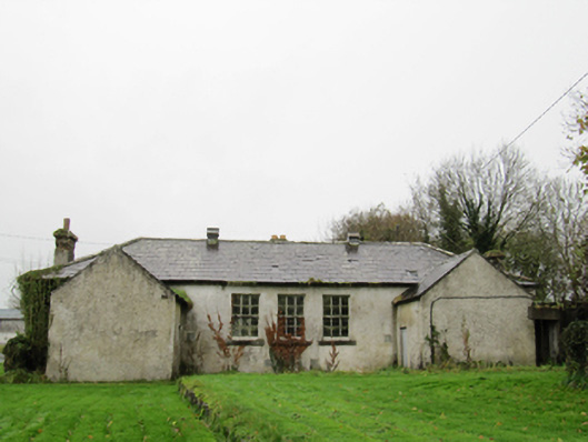 Clontuskert National Schoolschool · 18 yd
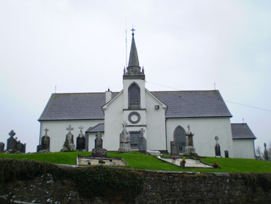 Saint Augustine's Catholic Churchchurch/chapel · 325 yd
 LisnagranFairy fort / earthen ringfort · 604 yd
 LisnapastiaFairy fort / earthen ringfort · 827 yd
 Ballagh Castle (in Ruins)Castle, unclassified · 1.3 mi
 European BeechEuropean Beech · 1.4 mi
 European YewEuropean Yew · 1.7 mi
 Urraghry HillMountain / peak · 2.7 mi
 Oghil Castle (in ruins)Castle, tower house · 2.7 mi
 Ardcarn IslandsIslet · 3.0 mi
 The bloody HollowHeritage attraction · 3.1 mi
 Battle of AughrimMajor battlefield · 3.4 mi
Other information
Photo: Credit not shown in the picture search · Rights wording not checked; contact us if this picture should be removed