What is recorded here
In pasture, in the SW corner of a field, located on the tip of a low E-W ridge, c. 40m W of a ringfort (MA121-100001-). When recorded in 1986 this house was evident as a square area (6m E–W; 6m N–S) defined on the N, E and S sides by grass-covered wall footings, and truncated on the W side by a field wall which borders the E side of a N–S laneway. Immediately to E is a shallow rectilinear depression (3.5m E–W; 8m N–S) with possible traces of a wall along its E side (SMR file, 1986). This house is the central house in a N–S row of three close set houses (see also MA121-100002-; MA121-100004-), all with parallel E–W long axes.
Compiled by: Jane O'Shaughnessy
Date of upload: 9 January 2015
The monument record does not grant public access. Check the route and ask the landowner before entering private land.
- What survives
- Recorded monument
Places near here
 Enclosure in Cross East,cross WestEnclosure · 367 yd
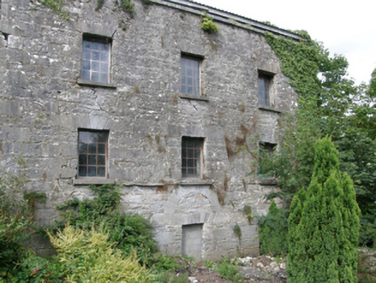 mill (water)mill (water) · 593 yd
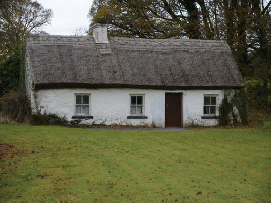 farm housefarm house · 597 yd
 CastleCastle, tower house · 732 yd
 IndicatedHoly well · 814 yd
 Gibbs IslandsIslet · 1.6 mi
 Caherduff CastleCastle · 1.7 mi
 Easter IslandIslet · 2.1 mi
 Cong AbbeyHeritage attraction · 3.2 mi
 European YewEuropean Yew · 3.2 mi
 Quiet Man MuseumMuseum · 3.2 mi
 Silver FirSilver Fir · 3.3 mi