What is recorded here
At about the mid point on the S side of Tory Island is a settlement called West Town clustered around a small bay. This settlement includes within it and close to it the remains of the early ecclesiastical complex on the island (National Monument number 24). The available literature seems to refer to several structures and monuments no longer visible. In particular the Civil Survey of 1654-56 (Simington 1937, 114) refers to 'five churches almost ruined' only one of which seems to survive. Literary references to Tory appear to begin in the 7th century and continue throughout the early and later medieval period indicating its ecclesiastical nature (Gwynn and Hadcock 1970, 46).
On the platform-like structure named 'Altar' on the 3rd ed. OS 6-inch map (DG006-002005-). This contains a collection of stone fragments and stray pieces gathered together among which is a granite block measuring 1m x 0.5m x 0.3m. On one face is a simple cross in relief (DG006-002006-).
The above description was derived from the 'Archaeological Survey of County Donegal. A description of the field antiquities of the County from the Mesolithic Period to the 17th century.' Compiled by: Brian Lacey with Eamon Cody, Claire Cotter, Judy Cuppage, Noel Dunne, Vincent Hurley, Celie O'Rahilly, Paul Walsh and Seán Ó Nualláin (Lifford: Donegal County Council, 1983). In this instance the entry (no. 1620) has been revised and updated.
Revised by: Paul Walsh
Date of upload: 13 March 2013
The monument record does not grant public access. Check the route and ask the landowner before entering private land.
- What survives
- Recorded monument
Places near here
 CrossCross, High cross · 1 yd
 Tory Island Round TowerRound tower · 16 yd
 Tory Island Early Church GraveyardGraveyard · 75 yd
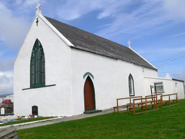 Teach Pobail Cholmcille Naofa [Saint Columbkille's Catholic Church]church/chapel · 248 yd
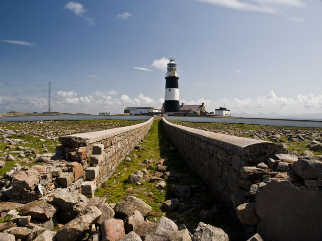 Tory Island / ToraighIsland · 449 yd
 An TorpedoHeritage attraction · 877 yd
 Derek Hill's HutHeritage attraction · 1271 yd
 Lloyds Signal StationRuins · 1316 yd
 Siege of Tory Islandsiege · 1.1 mi
 Cliffs of ToraigPublicly named cliff or headland · 1.3 mi
 Tory Island WayVisitor information · 1.3 mi
 CastleCastle, unclassified · 1.4 mi