What is recorded here
Situated on the steep SE slopes of Bolus Head, from which it commands a magnificent view over the mouth of Kenmare Bay to the Beara Peninsula at S, KE097-044001- comprises a strong cashel wall which encloses an oratory, a circular hut, three rectangular buildings, a cross-slab and a covered passage. Just outside the enclosure, at N, is a rectangular platform with a leacht and a cross-slab. This site was in use as a ceallúnach until the nineteenth century (OSNB Prior, 51), and a holy well is located c. 90m to SW (KE097-059----).
Rectangular Buildings: (3) Abutting the enclosure at SE, this structure measures 5.6m NW-SE x 2.6m NE-SW internally. Its internal angles are slightly rounded and the entrance occurs in the NW side-wall. The building may be of relatively recent date.
The above description is derived from A. O'Sullivan and J. Sheehan (compilers), 'The Iveragh peninsula: an archaeological survey of South Kerry'. Cork University Press (1996), no. 951. In certain instances the entries have been revised and updated in the light of recent research.
Date of upload: 30 July 2013
Cross-slab in Cill Rialaigh likely dates to the early Christian period, associated with monastic or ecclesiastical activity in the region. The slab may have served as a memorial or liturgical cross, reflecting the spiritual significance of the site within a broader network of religious settlements in west Cork.
The monument record does not grant public access. Check the route and ask the landowner before entering private land.
- What survives
- Recorded monument
Places near here
 Cíl RialaighRuins · 5 yd
 Calluragh Grave Yard, CaherChurch · 12 yd
 Ceanna an AonaighNamed rock · 312 yd
 IndicatedFairy fort / stone ringfort · 701 yd
 Cuas a' Daimh /Ox Cove.Bay · 703 yd
 Cuas an tSeaga/Commorant Cove.Cave · 977 yd
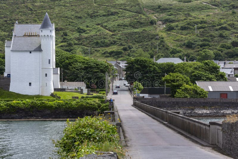 Cuas na gColúr/Cove of the Pigeons.Cave · 1076 yd
 Galláin/ Standing Stones.Archaeological place · 1136 yd
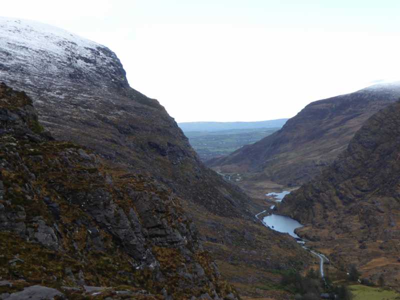 Cnoc Ceannúch (Canuig Mountain)Mountain / peak · 1.1 mi
 Trá PhraisceBeach / strand · 1.4 mi
 Bogha SínMountain / peak · 1.6 mi
 Liberator "63939" monumentMemorial · 1.7 mi