What is recorded here
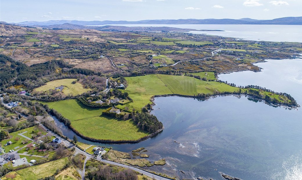
Crooha East holds Lisbeg, a circular earthen fort twenty-three metres across with a steep scarp and shallow ditch. It sits on a SE-facing slope break in open pasture, its entrance pointing SSW. The shape suggests people lived there, marked territory or simply shaped the land for visibility. Whatever it was, it remains visible because the earth still holds the line they drew.
In pasture, on edge of break in SE-facing slope. Raised circular area (22m N-S; 23m E-W) enclosed by scarp (H 3.55m) with external fosse (D 0.45m) ESE->S. Entrance to SSW. According to O'Brien (1970, 12, No. 12) locally known as "Lisbeg".
The above description is derived from the published 'Archaeological Inventory of County Cork. Volume 1: West Cork' (Dublin: Stationery Office, 1992). In certain instances the entries have been revised and updated in the light of recent research.
Date of upload/revision: 14 January 2009
The monument record does not grant public access. Check the route and ask the landowner before entering private land.
- What survives
- Recorded monument
Places near here
 Adrigole Double Ditch FortArchaeological place · 155 yd
 Mass MountMountain / peak · 977 yd
 Field boundary in Crooha EastField boundary · 1205 yd
 RoadRoad, unclassified togher · 1.3 mi
 Kilcaskan Church (in Ruins)Church · 1.4 mi
 Hungry Hill GalleryGallery · 1.4 mi
 Graveyard in DrumlaveGraveyard · 1.6 mi
 Nareera South-West TopMountain / peak · 1.6 mi
 West Cork Sailing & Powerboating CentreHeritage attraction · 1.7 mi
 Shot HeadHeadland · 1.9 mi
 Orthon's IslandIslet · 2.0 mi
 Mehal HeadHeadland · 2.2 mi